| Part of a series on |
| Traditional African religions |
|---|
 |
Sangha | |
|---|---|
 Sangha Location in Mali | |
| Coordinates: 14°27′54″N3°18′22″W / 14.46500°N 3.30611°W | |
| Country | |
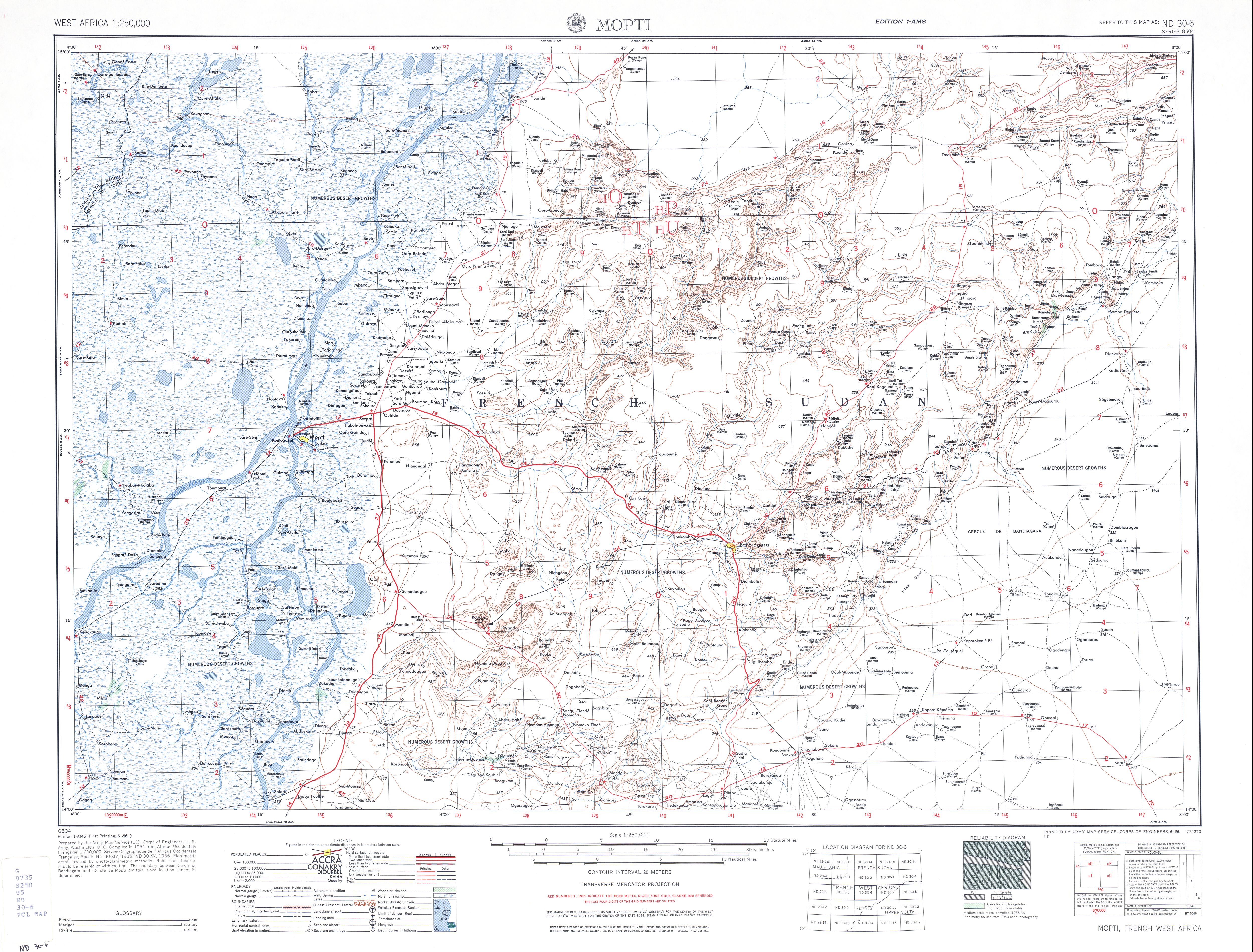
| Region | Mopti Region |
| Cercle | Bandiagara Cercle |
| Population (2009 census) [1] | |
• Total | 32,513 |
| Time zone | UTC+0 (GMT) |
Sangha (sometimes spelled Sanga) is a rural commune in the Cercle of Bandigara in the Mopti Region of Mali. The commune contains around 44 small villages and in the 2009 census had a population of 32,513. The administrative centre ( chef-lieu ) is the village of Sangha Ogol Leye, one of a cluster of at least 10 small villages at the top of the Bandiagara Escarpment.
Contents
The commune is known as a centre for Dogon traditional religion with many temples and shrines, and as a base for visitors to the local Dogon villages. Toro So is spoken in the village of Sangha. [2] Most of the ethnographic work by Marcel Griaule was carried out among the Dogon of Sangha.


