Kimbro | |
|---|---|
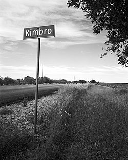 Kimbro, Texas sign | |
 Kimbro Location within the state of Texas  Kimbro Kimbro (the United States) | |
| Coordinates: 30°23′19″N97°28′17″W / 30.38861°N 97.47139°W | |
| Country | United States |
| State | Texas |
| County | Travis |
| Time zone | UTC-6 (Central (CST)) |
| • Summer (DST) | UTC-5 (CDT) |
Kimbro is an unincorporated community in northeast Travis County, Texas, United States.
