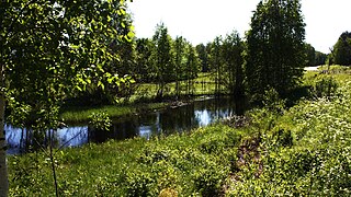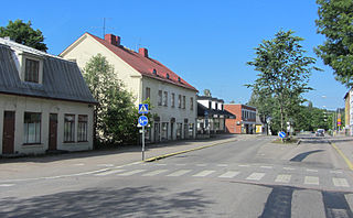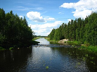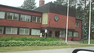
Lempäälä is a municipality in Finland, located in the Pirkanmaa region. It lies south of the regional capital, Tampere. The population of Lempäälä is approximately 25,000, while the metropolitan area has a population of approximately 421,000. It is the 41st most populous municipality in Finland.

Ähtäri is a town and municipality of Finland. It is located in the South Ostrobothnia region. The town has a population of 5,261 and covers an area of 910.87 square kilometres (351.69 sq mi) of which 105 km2 (41 sq mi) is water. The population density is 6.53 inhabitants per square kilometre (16.9/sq mi). Ähtäri is located 83 kilometres (52 mi) southeast of Seinäjoki.

Eurajoki is a municipality of Finland located in the region of Satakunta in the province of Western Finland. The municipality has a population of 9,061 and covers an area of 1,504.96 square kilometres (581.07 sq mi) of which 298.39 km2 (115.21 sq mi) is water. The population density is 17.59 inhabitants per square kilometre (45.6/sq mi).

Humppila is a municipality of Finland. It is located in the Tavastia Proper region. The municipality has a population of 2,096, which make it the smallest municipality in Tavastia Proper in terms of population. It covers an area of 148.61 square kilometres (57.38 sq mi) of which 0.65 km2 (0.25 sq mi) is water. The population density is 14.17 inhabitants per square kilometre (36.7/sq mi).

Jämijärvi is a municipality of Finland.

Kaavi is a municipality of Finland. It is located in the Northern Savonia region. Kaavi is also a part of historical Karelia. The municipality has a population of 2,614 and covers an area of 789.59 square kilometres (304.86 sq mi) of which 115.49 km2 (44.59 sq mi) is water. The population density is 3.88 inhabitants per square kilometre (10.0/sq mi). It is 60 kilometres (37 mi) from Kuopio and 90 kilometres (56 mi) from Joensuu. Neighbouring municipalities are Kuopio, Juuka, Outokumpu, Polvijärvi and Tuusniemi.

Kannus is a town and municipality of Finland. It is situated in the province of Western Finland and is part of the Central Ostrobothnia region. The municipality has a population of 5,251 and covers an area of 470.65 square kilometres (181.72 sq mi), of which 2.41 km2 (0.93 sq mi) is water. The population density is 11.22 inhabitants per square kilometre (29.1/sq mi). The municipality is unilingually Finnish. Neighbour municipalities are Kalajoki, Kokkola, Sievi and Toholampi.

Karkkila is a town and a municipality of Finland.

Kauhava is a town and municipality of Finland. It is part of the Southern Ostrobothnia region, 400 kilometres (250 mi) northwest of Helsinki and by the main railway from Helsinki to Oulu. The town has a population of 15,110 and covers an area of 1,328.09 square kilometres (512.78 sq mi) of which 14.63 km2 (5.65 sq mi) is water. The population density is 11.5 inhabitants per square kilometre (30/sq mi).

Lieto is a city and municipality of Finland.

Merijärvi is a municipality of Finland.

Mäntsälä is a municipality in the province of Southern Finland, and is part of the Uusimaa region. It has a population of 20,892 (31 August 2024) and covers an area of 596.11 square kilometres (230.16 sq mi) of which 15.26 km2 (5.89 sq mi) is water. The population density is 35.97 inhabitants per square kilometre (93.2/sq mi). The municipality is unilingually Finnish. Mäntsälä is one of three municipalities in the Uusimaa region that do not have a Swedish name; the others are Nurmijärvi and Askola.

Pieksämäki is a town and municipality of Finland. It is located in the Southern Savonia region, about 75 kilometres (47 mi) north of Mikkeli, 85 kilometres (53 mi) east of Jyväskylä and 95 kilometres (59 mi) south of Kuopio. The town has a population of 17,192 and covers an area of 1,836.22 square kilometres (708.97 sq mi) of which 266.76 km2 (103.00 sq mi) is water. The population density is 10.96 inhabitants per square kilometre (28.4/sq mi). Neighbour municipalities are Hankasalmi, Joroinen, Juva, Kangasniemi, Leppävirta, Mikkeli, Rautalampi and Suonenjoki.

Pielavesi is a municipality of Finland. It is part of the Northern Savonia region. The municipality has a population of 3,993 and covers an area of 1,406.51 square kilometres (543.06 sq mi) of which 253.27 km2 (97.79 sq mi) is water. The population density is 3.46 inhabitants per square kilometre (9.0/sq mi). The municipality is unilingually Finnish.

Pomarkku is a municipality of Finland.

Pyhäntä is a municipality of Finland. It is located in the Northern Ostrobothnia region. The municipality has a population of 1,660 (31 August 2024) and covers an area of 847.48 square kilometres (327.21 sq mi) of which 36.72 km2 (14.18 sq mi) is water. The population density is 2.05 inhabitants per square kilometre (5.3/sq mi). The municipality is unilingually Finnish.

Ulvila is a town and municipality of Finland. It is one of the six medieval cities of Finland, as well as the third oldest city in the country. Ulvila was granted charter as a town by King Albert of Sweden on 7 February 1365. However, its town privileges were taken over by Pori in 1558. After 442 years, Ulvila regained town privileges in 2000.

Vieremä is a municipality of Finland in the Northern Savonia region. The municipality has a population of 3,361 and covers an area of 973.35 square kilometres (375.81 sq mi) of which 48.2 km2 (18.6 sq mi) is water. The population density is 3.63 inhabitants per square kilometre (9.4/sq mi).

Viitasaari is a Finnish town and municipality located in the Central Finland region. The town has a population of 5,768 (31 August 2024) and covers an area of 1,589.13 square kilometres (613.57 sq mi) of which 340.43 km2 (131.44 sq mi), or 21%, is water. There are all together 230 lakes in Viitasaari. The biggest lakes are Lake Keitele, Lake Kolima and Muuruejärvi. The population density is 4.62 inhabitants per square kilometre (12.0/sq mi).

Kimitoön is a municipality and island of Finland. It was created on 1 January 2009, when the municipalities of Dragsfjärd, Kimito and Västanfjärd were consolidated into a single municipality.


