
Puno is a province in the Puno Region, in southeastern Peru. It borders the provinces of Huancane, San Román, El Collao and the Moquegua Region's province of General Sánchez Cerro. Its capital is the city of Puno, which is located at the edge of Lake Titicaca, the world's highest navigable lake. It is the economic powerhouse of the region.
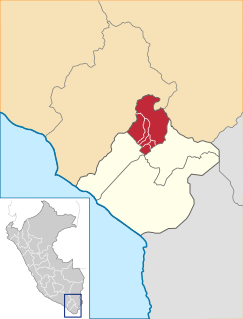
Axura District is one of fifteen districts of the Puno Province in the Puno Region, Peru.
Candarave Province is the smallest of four provinces in the Tacna Region in southern Peru. Its capital is Candarave.

Tarata is one of four provinces in the Tacna Region in southern Peru. Its capital is Tarata city.

The General Sánchez Cerro Province is the smallest of three provinces in the Moquegua Region of Peru. The capital of the province is Omate. The province was named after the former Peruvian army officer and president Luis Miguel Sánchez Cerro.
The Mariscal Nieto Province is the largest of three provinces that make up the Moquegua Region of Peru. The capital of the province is the city of Moquegua.

Chucuito Province is a province of the Puno Region in Peru. The capital of the province is the city of Juli.

El Collao Province is a province of the Puno Region in Peru, created in 1992. The capital of the province is the city of Ilave.

Huancané Province is a province of the Puno Region in Peru. The capital of the province is the city of Huancané.

Ichuña District is one of eleven districts of the General Sánchez Cerro Province in Peru.
Muñani District is one of fifteen districts of the Azángaro Province in Peru.
Potoni District is one of fifteen districts of the Azángaro Province in Peru.
Huacullani is one of seven districts of the Chucuito Province in the Puno Region in southern Peru.
Kelluyo is one of seven districts of the Chucuito Province in Peru.
Pisacoma is one of seven districts of the Chucuito Province in Peru.
Pumata District is one of seven districts of the Chucuito Province in Puno Region, Peru.
Santa Rosa District is one of five districts of the province El Collao in Puno Region, Peru.
Pichacani or Pichaqani is one of fifteen districts of the Puno Province in the Puno Region in Peru.
San Antonio District or San Antonio de Esquilache District is one of fifteen districts of the Puno Province in the Puno Region of Peru.