Rivière-Héva is a municipality in northwestern Quebec, Canada in the MRC de La Vallée-de-l'Or. It is named after the Héva River that flows through the municipality.

Lac-Nilgaut is a vast unorganized territory in the Outaouais region, Quebec, Canada. With a surface area of 9,851 square kilometres (3,803 sq mi), it makes up over 70% of the northern portion of Pontiac Regional County Municipality.

Les Lacs-du-Témiscamingue is a vast unorganized territory in the Abitibi-Témiscamingue region of Quebec, Canada. With a surface area of 10,410 square kilometres (4,020 sq mi), it takes up over 60% of the eastern portion of the Témiscamingue Regional County Municipality.

Lac-Pythonga is an unorganized territory in the Outaouais region of Quebec, Canada. It surrounds Lake Pythonga and is the largest of the five unorganized territories in the La Vallée-de-la-Gatineau Regional County Municipality.

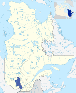
Lac-Granet is an unorganized territory in the Abitibi-Témiscamingue region of Quebec, Canada. It is one of five unorganized territories in the La Vallée-de-l'Or Regional County Municipality.

Lac-Metei is an unorganized territory in the Abitibi-Témiscamingue region of Quebec, Canada. It is one of five unorganized territories in the La Vallée-de-l'Or Regional County Municipality.
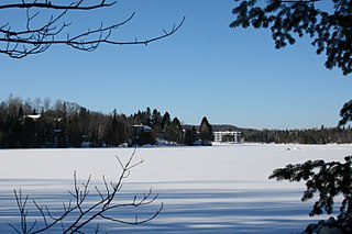
Estérel is a city in Les Pays-d'en-Haut Regional County Municipality in the Laurentides region of Quebec, Canada. The municipal territory almost entirely extends around Lake Masson, whereas the village itself is situated on the eastern shore of this lake.

Lac-Ernest is an unorganized territory in the Laurentides region of Quebec, Canada. It is almost entirely within the Papineau-Labelle Wildlife Reserve.

Lac-Douaire is an unorganized territory of Quebec, Canada. It is the largest geo-political division in the Laurentides region, and one of eleven unorganized areas in the Antoine-Labelle Regional County Municipality.

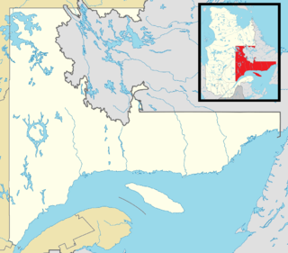
Lac-Masketsi is an unorganized territory in the Mauricie region of province of Quebec, Canada, part of the Mékinac Regional County Municipality. Most of its area is part of the Zec Tawachiche. The discharge of Masketsi Lake at the south-east flows in the Little Lake Masketsi, which empties into the Tawachiche West River.

Lac-Ashuapmushuan is an unorganized territory in the Canadian province of Quebec, Canada, located in the regional county municipality of Le Domaine-du-Roy. The region had a population of 28 as of the Canada 2011 Census, and covered a land area of 14,998.91 km2. It is home to the Ashuapmushuan Wildlife Reserve.

Mont-Apica is an unorganized territory in the Canadian province of Quebec, located in the regional county municipality of Lac-Saint-Jean-Est. It had a population of 0 in the Canada 2011 Census, and covered a land area of 12.68 km2, entirely within the Laurentides Wildlife Reserve.

Lac-Jacques-Cartier is a large unorganized territory in the Capitale-Nationale region of Quebec, Canada, in the La Côte-de-Beaupré Regional County Municipality, making up more than 85% of this regional county. It is unpopulated and undeveloped, almost entirely part of the Jacques-Cartier National Park and the Laurentides Wildlife Reserve.

Lac-au-Brochet is an unorganized territory in the Côte-Nord region of Quebec, Canada. It makes up over 83% of the La Haute-Côte-Nord Regional County Municipality.

Lac-Walker is an unorganized territory in the Côte-Nord region of Quebec, Canada. It makes up more than half of the Sept-Rivières Regional County Municipality.
Lac-Vacher is an unorganized territory in the Côte-Nord region of Quebec, Canada, part of Caniapiscau Regional County Municipality.
Lac-Juillet is an unorganized territory in the Côte-Nord region of Quebec, Canada, part of Caniapiscau Regional County Municipality.

Lac-Matapédia is an unorganized territory in the Bas-Saint-Laurent region of Quebec, Canada. It is named after and located on the northern shores of Lake Matapedia in the Matapédia Valley.

Ruisseau-des-Mineurs is an unorganized territory in the Bas-Saint-Laurent region of Quebec, Canada. It is named after the Miners Creek, a tributary of the Cascapédia River via the Branche du Lac River.

Lac-Casault is an unorganized territory in the Bas-Saint-Laurent region of Quebec, Canada.