External links
- Reno County maps: Current Archived March 19, 2022, at the Wayback Machine , Historic Archived February 24, 2024, at the Wayback Machine , KDOT
Municipalities and communities of Reno County, Kansas, United States | ||
|---|---|---|
| Cities | 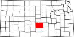 | |
| CDP | ||
| Unincorporated communities | ||
| Ghost town |
| |
| Townships | ||
37°46′35″N98°16′57″W / 37.77639°N 98.28250°W
| | This article about a location in Reno County, Kansas is a stub. You can help Wikipedia by expanding it. |