Mamedoba | |
|---|---|
 Mamedoba | |
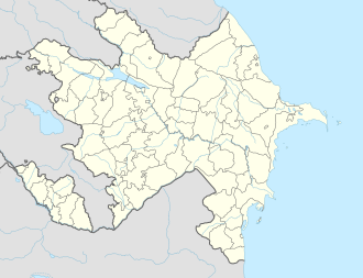
| Coordinates: 41°22′N49°02′E / 41.367°N 49.033°E | |
| Country | |
| Rayon | Davachi |
| Time zone | UTC+4 (AZT) |
| • Summer (DST) | UTC+5 (AZT) |
Mamedoba is a village in the Davachi Rayon of Azerbaijan.
Mamedoba | |
|---|---|
| Mamedoba | |
| Coordinates: 41°22′N49°02′E / 41.367°N 49.033°E | |
| Country | |
| Rayon | Davachi |
| Time zone | UTC+4 (AZT) |
| • Summer (DST) | UTC+5 (AZT) |
Mamedoba is a village in the Davachi Rayon of Azerbaijan.
| | This Shabran District location article is a stub. You can help Wikipedia by expanding it. |
