Provincial Trunk Highway 75 is a major highway in the Canadian province of Manitoba. It is the main link between the city of Winnipeg and the United States border, where it connects with Interstate 29/U.S. Route 81.
Provincial Trunk Highway 16 (PTH 16) is a provincial highway in the Canadian province of Manitoba. It is the Manitoba section of the Yellowhead Highway, and also the Trans-Canada Highway Yellowhead section. The main purpose of this highway is to connect Winnipeg with other Canadian cities such as Saskatoon and Edmonton. The highway runs from Bloom at an intersection with the Trans-Canada Highway and Provincial Road 305 ten kilometres (6.2 mi) west of Portage la Prairie to the Saskatchewan boundary sixteen kilometres (9.9 mi) west of Russell, where it continues as Saskatchewan Highway 16.
Provincial Trunk Highway 4 is a provincial highway in the Canadian province of Manitoba. The highway connects the city of Selkirk to PTH 59, the main route to Grand Beach and cottage country on the east side of Lake Winnipeg.
Provincial Trunk Highway 6 is a provincial primary highway located in the Canadian province of Manitoba. It runs from the Perimeter Highway of Winnipeg to the Thompson south city limits. It is also the main highway connecting Winnipeg to northern Manitoba. The speed limit is 100 km/h. The route is also used to deliver nickel from the Thompson mine to the Royal Canadian Mint in Winnipeg. The section of highway between its southern terminus near Winnipeg and the second junction with PTH 68 near Eriksdale is part of the Northern Woods and Water Route. The portion of the highway between Ponton and Thompson was known as Highway 391 prior to 1986.
Provincial Trunk Highway 9 is a provincial primary highway located in the Canadian province of Manitoba. It runs from Winnipeg north to Gimli.
Provincial Trunk Highway 27 is a very short provincial highway in the Canadian province of Manitoba. It runs from PTH 8 to PTH 9.
Provincial Trunk Highway 17 is a provincial highway in the Canadian province of Manitoba. It runs from a junction with PR 224 and PR 325 near Hodgson to a junction with PTH 9 near Winnipeg Beach.

Provincial Trunk Highway 10 is a provincial primary highway located in the Canadian province of Manitoba.
Provincial Trunk Highway 44 is an east-west provincial highway in the Eastman Region of the Canadian province of Manitoba.
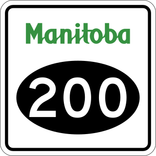
Provincial Road 200 is a provincial road in Manitoba. It runs from the Perimeter Highway at Winnipeg to the border town of Emerson, ending at Manitoba Highway (PTH) 75 at Emerson, near the Canada–United States border.
Provincial Trunk Highway 26, also known as Chemin Assiniboine Trail, is a provincial highway in the Canadian province of Manitoba. It is an east-west route that begins and ends at the Trans-Canada Highway. The western terminus is located near the interchange of PTH 1 and PTH 1A approximately 3 kilometres east of Portage la Prairie, while the eastern terminus is 3 kilometres southeast of St. François Xavier and 13 kilometres west of Winnipeg's Perimeter Highway. PTH 26 provides access to the small communities of St. François Xavier and Poplar Point. It serves as an alternative scenic route between Portage la Prairie and Winnipeg as it closely follows the Assiniboine River which flows south of the highway. The speed limit on this highway is 90 kilometres per hour (56 mph).

Provincial Road 374 is a 39-kilometre-long (24 mi) provincial highway in northeastern Manitoba. A spur of PR 373 southeast of Jenpeg, PR 374 runs to Cross Lake, which connects to local streets and the Cross Lake First Nation. The route also crosses over the Kichi Sipi Bridge, which spans over the Nelson River since September 2004.

Provincial Road 203 is a provincial road in the southeastern part of the Canadian province of Manitoba.
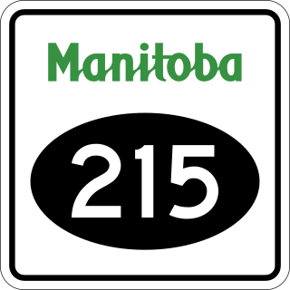
Provincial Road 215 is a short provincial road in the Canadian province of Manitoba.

Provincial Road 209 is a short 14.1-kilometre-long (8.8 mi) east-west provincial road in the Eastman Region of Manitoba, Canada. It connects the community of Gardenton with PTH 59, as well as PR 201, along with the communities of Tolstoi, Vita, Stuartburn.

Provincial Road 217 is a short provincial road in the Canadian province of Manitoba. It begins at PR 246 near St. Jean Baptiste and runs east to PR 219 near Carlowrie, passing through the community of Arnaud. It is mostly a gravel road.

Provincial Road 220 is a provincial road in the Interlake region of Manitoba, Canada. It connects suburbs on the northern edge of Winnipeg with PTH 8, PTH 67, and Oak Hammock Marsh. Between PTH 8 and PR 409, PR 220 is named Grassmere Road, with the rest of its length known as Blackdale Road.
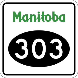
Manitoba Provincial Road 303 is a short provincial road in the Canadian province of Manitoba.

Provincial Road 307 is a provincial road in the eastern part of the Canadian province of Manitoba. It is part of the La Vérendrye Trail in eastern Manitoba and lies mostly within Whiteshell Provincial Park.

Manitoba Provincial Road 464 is a north-south provincial road in the southwestern section of the Canadian province of Manitoba.
