
U.S. Route 10 or U.S. Highway 10 (US 10) is an east–west United States Numbered Highway located in the Midwest and Great Lakes regions of the U.S. Unlike most U.S. Highways with "0" as the last digit of its route number, US 10 is not a cross-country highway. US 10 was one of the original long-haul highways, running from Detroit, Michigan, to Seattle, Washington, but then lost much of its length when new Interstate Highways were built on top of its right-of-way.

U.S. Route 30 or U.S. Highway 30 (US 30) is an east–west main route in the system of the United States Numbered Highways, with the highway traveling across the northern tier of the country. With a length of 3,073 miles (4,946 km), it is the third longest U.S. highway, after US 20 and US 6. The western end of the highway is at US 101 in Astoria, Oregon; the eastern end is at Virginia Avenue, Absecon Boulevard, and Adriatic Avenue in Atlantic City, New Jersey. The "0" as the last digit in the number indicates that it is a coast-to-coast route and a major east-west route. Despite long stretches of parallel and concurrent Interstate Highways, it has not been decommissioned unlike other long haul routes such as US 66. It is also the only U.S. Highway that has always been coast-to-coast since the beginning of U.S. Route system.

U.S. Route 412 is an east–west United States highway, first commissioned in 1982. U.S. 412 overlaps expressway-grade Cimarron Turnpike from Tulsa west to Interstate 35 and the Cherokee Turnpike from 5 miles (8.0 km) east of Chouteau, Oklahoma, to 8 miles (13 km) west of the Arkansas state line. It runs the entire length of the Oklahoma Panhandle and traverses the Missouri Bootheel. Despite its numbering it is not associated with U.S. Route 12.

U.S. Route 160 (US 160) is a 1,465-mile-long (2,358 km) east–west United States Numbered Highway in the Midwestern and Western United States. The western terminus of the route is at US 89 five miles (8.0 km) west of Tuba City, Arizona. The eastern terminus is at US 67 and Missouri 158 southwest of Poplar Bluff, Missouri. Its route, if not its number, was made famous in song in 1975, as the road from Wolf Creek Pass to Pagosa Springs, Colorado in C.W. McCall's country music song "Wolf Creek Pass".
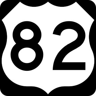
U.S. Route 82 is an east–west United States highway in the Southern United States. Created on July 1, 1931 across central Mississippi and southern Arkansas, US 82 eventually became a 1,625-mile-long (2,615 km) route extending from the White Sands of New Mexico to Georgia's Atlantic coast.

U.S. Route 59 is a north–south United States highway. A latecomer to the U.S. numbered route system, US 59 is now a border-to-border route, part of the NAFTA Corridor Highway System. It parallels U.S. Route 75 for nearly its entire route, never much more than 100 miles (160 km) away, until it veers southwest in Houston, Texas. Its number is out of place since US 59 is either concurrent with or entirely west of U.S. Route 71. The highway's northern terminus is 9 mi (14 km) north of Lancaster, Minnesota, at the Lancaster–Tolstoi Border Crossing on the Canada–US border, where it continues as Manitoba Highway 59. Its southern terminus is at the Mexico–US border in Laredo, Texas, where it continues as Mexican Federal Highway 85D.

U.S. Route 24 (US 24) is one of the original United States highways of 1926. It originally ran from Pontiac, Michigan, in the east to Kansas City, Missouri, in the west. Today, the highway's eastern terminus is in Independence Township, Michigan at an intersection with I-75, and its western terminus is near Minturn, Colorado at an intersection with I-70. The highway transitions from north–south to east–west signage at the Ohio-Michigan state line.

U.S. Route 71 or U.S. Highway 71 is a major north–south United States highway that extends for over 1500 miles (2500 km) in the central United States. This original 1926 route has remained largely unchanged by encroaching Interstate highways. Currently, the highway's northern terminus is in International Falls, Minnesota at the Canada–US border, at the southern end of the Fort Frances-International Falls International Bridge to Fort Frances, Ontario. U.S. Route 53 also ends here. On the other side of the bridge, Trans-Canada Highway is an east–west route while Ontario Highway 71 is a north–south route. US 71's southern terminus is between Port Barre and Krotz Springs, Louisiana at an intersection with U.S. Route 190. For the entirety south of Kansas City, Missouri, US 71 runs parallel and concurrent with the existing and future Interstate 49. North of Kansas City, US 71 runs halfway between Interstate 29 and Interstate 35, which they split in the city at an interchange with Interstate 70.

U.S. Highway 18 (US 18) is an east–west United States Numbered Highway in the Midwestern United States. The western terminus is in Orin, Wyoming, at an interchange with Interstate 25 (I-25). Its eastern terminus is in downtown Milwaukee, Wisconsin. However, US 18 runs concurrent with other U.S. Highways from its western terminus to Mule Creek Junction, Wyoming. US 18 is one of the original U.S. Highways of 1926. The US 18 designation was originally proposed for a road in Michigan from Grand Haven east to Detroit. This roadway was eventually designated as US 16.
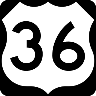
U.S. Route 36 (US 36) is an east–west United States highway that travels approximately 1,414 miles (2,276 km) from Rocky Mountain National Park, Colorado to Uhrichsville, Ohio. The highway's western terminus is at Deer Ridge Junction, an intersection in Rocky Mountain National Park, Colorado, where it meets US 34. Its eastern terminus is at US 250 in Uhrichsville, Ohio.

U.S. Route 54 is an east–west United States Highway that runs northeast–southwest for 1,197 miles (1,926 km) from El Paso, Texas, to Griggsville, Illinois. The Union Pacific Railroad's Tucumcari Line runs parallel to US 54 from El Paso to Pratt, Kansas, which comprises about two-thirds of the route.

U.S. Route 63 (US 63) is a 1,286-mile (2,070 km), north–south United States Highway primarily in the Midwestern and Southern United States. The southern terminus of the route is at Interstate 20 (I-20) in Ruston, Louisiana; the northern terminus is at US 2 eight miles (13 km) west of Ashland, Wisconsin.

Route 7 is a state highway with its northern terminus at U.S. Route 24 in northeast Independence and its southern terminus at Interstate 44 southeast of Richland. The section between Harrisonville and Clinton provides an important link for traffic between Springfield and Kansas City.
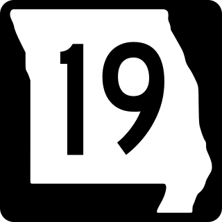
Route 19 is a long state highway in Missouri. Its northern terminus is at U.S. Route 61 in New London and its southern terminus is at U.S. Route 63 on the north side of Thayer. Route 19 is one of Missouri's original 1922 highways, though it initially had a northern terminus at Route 14 in Cuba and was later extended north.
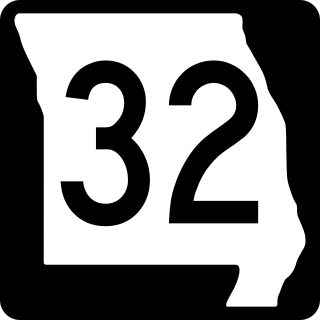
Route 32 is a highway in Missouri. Its eastern terminus is at the Mississippi River near Ste. Genevieve; its western terminus is at U.S. Route 54 in El Dorado Springs. It is currently one of the longest highways in the state. Most of the highway east of Lebanon is hilly and curvy, passing through a large part of the Missouri Ozarks.

U.S. Route 60 (US 60) is an east–west United States Highway within Arizona. The highway runs for 369 miles (594 km) from a junction with Interstate 10 near Quartzsite to the New Mexico State Line near Springerville. As it crosses the state, US 60 overlaps at various points: I-17, I-10, SR 77, SR 260, US 191, and US 180. Between Wickenburg and Phoenix, the route is known as Grand Avenue. From Tempe to Apache Junction, it is known as the Superstition Freeway.

Interstate 44 (I-44) in the US state of Missouri runs northeast from the Oklahoma state line near Joplin to I-70 in Downtown St. Louis. It runs for about 293 miles (472 km) in the state, and is the longest Interstate Highway in the state.

U.S. Route 69 (US-69) is a major north-south U.S. Highway that runs from Port Arthur, Texas to Albert Lea, Minnesota. In Kansas, the highway runs in the far eastern part of the state, usually within 5 miles of the Missouri state line. Most of the highway north of Fort Scott runs as a freeway.
U.S. Route 54 in Missouri is a west-east highway that starts from the Kansas state line in Nevada to the Illinois state line in Louisiana.
U.S. Route 63 is the portion of a north-south highway that runs through the U.S. state of Missouri from the Arkansas state line near Thayer to the Iowa state line near Lancaster.

