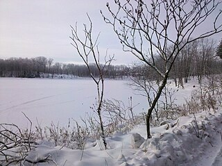
Malmo Township is a township in Aitkin County, Minnesota, United States. The population was 337 as of the 2010 census.

Big Bend Township is a township in Chippewa County, Minnesota, United States. The population was 257 at the 2000 census.

Bloomfield Township is a township in Fillmore County, Minnesota, United States. The population was 414 at the 2000 census. Bloomfield Township borders Beaver Township, Forestville Township, and Spring Valley Township.

Pilot Mound Township is a township in Fillmore County, Minnesota, United States. The population was 364 at the 2000 census.

Mound Prairie Township is a township in Houston County, Minnesota, United States. The population was 661 at the 2000 census.

Winnebago Township is a township in Houston County, Minnesota, United States. The population was 257 at the 2000 census.

Hay Brook Township is a township in Kanabec County, Minnesota, United States. The population was 218 at the 2000 census.

Forest City Township is a township in Meeker County, Minnesota, United States. The population was 666 at the 2000 census. The unincorporated community of Forest City is located within Forest City Township.

Paddock Township is a township in Otter Tail County, Minnesota, United States. The population was 323 at the 2000 census.

Star Lake Township is a township in Otter Tail County, Minnesota, United States. The population was 410 at the 2000 census.

Huntsville Township is a township in Polk County, Minnesota, United States. It is part of the Grand Forks-ND-MN Metropolitan Statistical Area. The population was 586 at the 2000 census.

Onstad Township is a township in Polk County, Minnesota, United States. It is part of the Grand Forks-ND-MN Metropolitan Statistical Area. The population was 70 at the 2000 census.

Blue Mounds Township is a township in Pope County, Minnesota, United States. The population was 207 at the 2000 census.

Lamberton Township is one of the twenty-six townships of Redwood County, Minnesota, United States. The population was 235 at the 2000 census.

Springdale Township is one of the twenty-six townships of Redwood County, Minnesota, United States. The population was 215 at the 2000 census.

Birch Cooley Township is a township in Renville County, Minnesota, United States. The population was 257 at the 2000 census.

Beaver Township is a township in Roseau County, Minnesota, United States. The population was 103 at the 2000 census.

Blue Hill Township is a township in Sherburne County, Minnesota, United States. The population was 762 at the 2000 census.

Sibley Township is a township in Sibley County, Minnesota, United States. The population was 353 at the 2000 census.

Grey Eagle Township is a township in Todd County, Minnesota, United States. The population was 663 according to a 2000 census.


