Nalma नाल्मा | |
|---|---|
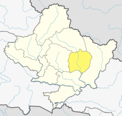
 Nalma Location in Nepal  Nalma Nalma (Nepal) | |
| Coordinates: 28°13′N84°18′E / 28.21°N 84.30°E | |
| Country | |
| Zone | Gandaki Zone |
| District | Lamjung District |
| Population (1991) | |
• Total | 2,082 |
| Time zone | UTC+5:45 (Nepal Time) |
Nalma is a village development committee in Lamjung District in the Gandaki Zone of northern-central Nepal. At the time of the 1991 Nepal census it had a population of 2082 people living in 409 individual households. [1] The villages of Nalma VDC are as follows:
- Jyarkhang
- Bakhrijagat
- Syare, Lausibot, Kochme
- Puran Gaun
- Gairi Gaun
- Danda Gaun
- Bartu
- Chodo khora
- Fedi
- Ramche Khola
Population by ward no. as per National Population Census 2011 [2]
DISTRICT: Lamjung | V.D.C./MUNICIPALITY : Nalma | |||
WARD | HOUSEHOLD | POPULATION | ||
TOTAL | MALE | FEMALE | ||
1 | 89 | 325 | 141 | 184 |
2 | 80 | 337 | 161 | 176 |
3 | 25 | 74 | 30 | 44 |
4 | 37 | 139 | 64 | 75 |
5 | 44 | 154 | 72 | 82 |
6 | 36 | 140 | 70 | 70 |
7 | 47 | 241 | 120 | 121 |
8 | 37 | 160 | 66 | 94 |
9 | 43 | 209 | 103 | 106 |
TOTAL | 438 | 1,779 | 827 | 952 |