
U.S. Route 319 is a spur of US 19. It runs for 303 miles (488 km) from US 98 at the foot of the John Gorrie Memorial Bridge across from downtown Apalachicola, Florida to US 1/SR 4 in Wadley, Georgia, through the Panhandle of Florida and the southern portion of Georgia.
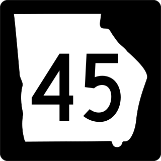
State Route 45 (SR 45) is a 88.1-mile-long (141.8 km) state highway that runs south-to-north through portions of Seminole, Miller, Early, Calhoun, Terrell, Webster, and Sumter counties in the southwestern part of the U.S. state of Georgia. The route connects Iron City and Plains, via Colquitt and Dawson.

State Route 57 (SR 57) is a 178.5-mile-long (287.3 km) state highway that travels northwest-to-southeast through portions of Bibb, Jones, Twiggs, Wilkinson, Washington, Johnson, Emanuel, Candler, Tattnall, Long, and McIntosh counties in the central and southeastern parts of the U.S. state of Georgia. The route connects the eastern part of the Macon area to the Eulonia area, via Swainsboro.

Nebraska Highway 4 is a highway in Nebraska. The entirety of the route is in Nebraska's southern tier of counties. Beatrice is the only city with over 1,000 in population on the highway. Its western terminus is at an intersection with US 6 and US 34 southwest of Atlanta. Its eastern terminus is at an intersection with US 75 north of Dawson.

Nebraska Highway 67 is a highway in southeastern Nebraska. Its southern terminus is at an intersection with U.S. Highway 73 near Verdon. Its northern terminus is at an intersection with U.S. Highway 34 near Nehawka. The segment between Nebraska Highway 2 and US 34 is one of four segments of road in the Nebraska highway system which is gravel.

Nebraska Highway 12 is a highway in northern and northeastern Nebraska. It has a western terminus at U.S. Highway 83 in Valentine and an eastern terminus at U.S. Highway 20 west of Jackson. The highway largely lies within 10 miles (16 km) of the South Dakota border its entire length. The highway has been designated the Outlaw Trail Scenic Byway.
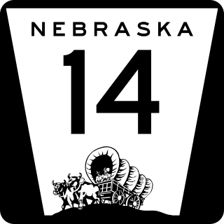
Nebraska Highway 14 (N-14) is a highway in the U.S. state of Nebraska. It has a southern terminus at the Kansas border, where it continues south as K-14, southwest of Superior and a northern terminus east of Niobrara at the South Dakota border.

Nebraska Highway 21 is a highway in central Nebraska. Its southern terminus is at Nebraska Highway 23 east of Eustis. Its northern terminus is at an intersection with Nebraska Highway 2 and Nebraska Highway 92 in Broken Bow.
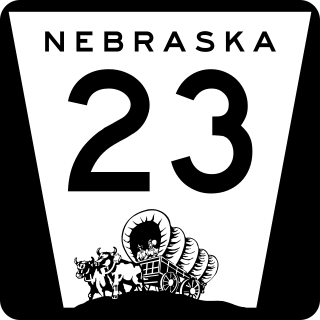
Nebraska Highway 23 is a 159.91-mile (257.35 km) highway in southwestern Nebraska, United States. Its western terminus is on the Colorado border at Venango, where the highway continues west as Colorado State Highway 23. The eastern terminus of NE 23 is at Holdrege at an intersection with U.S. Routes 6 and 34.

Nebraska Highway 57 (N-57) is a highway in northeastern Nebraska, United States. It is divided into two segments, which combine for a length of 58 miles (93 km). The southern segment begins northeast of Leigh at N-91 and ends at U.S. Highway 275 north of Stanton. The northern segment begins south of Carroll at N-98 and ends north of Hartington at an intersection with N-12.
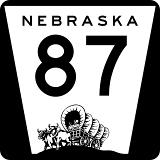
Nebraska Highway 87 is a highway in northwestern Nebraska. It has a southern terminus at Nebraska Highway 2 in Alliance. Its northern terminus is at the South Dakota border where it continues in northward as South Dakota Highway 407.

Nebraska Highway 97 is a highway in western Nebraska. It has a southern terminus north of North Platte at an intersection with U.S. Highway 83. The northern terminus is at U.S. Highway 20 in Valentine.
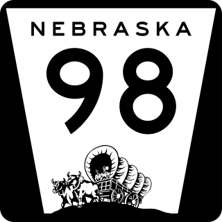
Nebraska Highway 98 is a highway in the northeastern part of the U.S. state of Nebraska. Its western terminus is at an intersection with Nebraska Highway 13 in Pierce. Its eastern terminus is at an intersection with Nebraska Highway 35 west of Wayne.

Nebraska Highway 89 is a highway in southern Nebraska. Its western terminus is at U.S. Highway 83 west of Danbury. Its eastern terminus is at an intersection with U.S. Highway 183 south of Alma.

Nebraska Highway 105 (N-105) is a 32.85-mile (52.87 km) state highway in Richardson, Pawnee, and Nemaha counties in Nebraska, United States. Its southern terminus is at an intersection with Nebraska Highway 8 south of Humboldt. Its northern terminus is at an intersection with Nebraska Highway 67 west of Brock.

Nebraska Highway 121 is a highway in northeastern Nebraska. It is a discontinuous highway with three segments:
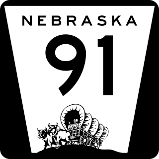
Nebraska Highway 91 is a highway in central and eastern Nebraska. Its western terminus is at an intersection with Nebraska Highway 2 north of Dunning. Its eastern terminus is at an intersection with U.S. Highway 30 and U.S. Highway 75 in Blair.
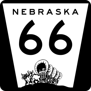
Nebraska Highway 66 is a highway in central and eastern Nebraska. It is a discontinuous highway with four segments heading in a west-to-east direction. The first segment begins at Nebraska Highway 14 south of Central City and ends at U.S. Highway 81 south of Stromsburg. The second segment begins at Nebraska Highway 15 west of Dwight and ends at Nebraska Highway 79 in Valparaiso. The third segment begins at U.S. Highway 77 south of Wahoo and ends at Main Street in Louisville. The fourth and final segment begins at the intersection with Walnut Street and Koop Avenue in Louisville, and ends at U.S. Highway 34 and U.S. Highway 75 west of Plattsmouth.
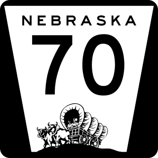
Nebraska Highway 70 is a highway in central Nebraska. Its western terminus is at an intersection with Nebraska Highway 2 and Nebraska Highway 92 east of Broken Bow. Its eastern terminus is at Nebraska Highway 14 in Elgin.
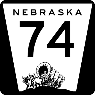
Nebraska Highway 74 is a highway in southern Nebraska. Its western terminus is at an intersection with Nebraska Highway 10 in Minden. Its eastern terminus is at an intersection with Nebraska Highway 15 east of Tobias.

