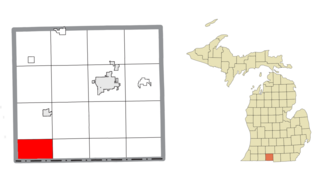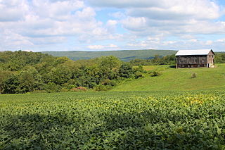
Noble Township is a civil township of Branch County in the U.S. state of Michigan. The population was 520 at the 2010 census.
Burlington Township is a civil township of Calhoun County in the U.S. state of Michigan. It is part of the Battle Creek, Michigan Metropolitan Statistical Area. As of the 2010 census, the township population was 1,941.

Pulaski Township is a civil township of Jackson County in the southern portion of the U.S. state of Michigan. As of the 2010 census, the township population was 2,075.

West Branch Township is a civil township of Marquette County in the U.S. state of Michigan. The population was 1,702 at the 2020 census.
Middle Branch Township is a civil township of Osceola County in the U.S. state of Michigan. The population was 858 at the 2000 census.
Ortonville Township is a township in Big Stone County, Minnesota, United States. The population was 2,011 as of the 2010 census.
Verona Township is a township in Faribault County, Minnesota, United States. The population was 391 at the 2000 census.
North Branch Township is a township in Isanti County, Minnesota, United States. The population was 1,654 at the 2000 census.
Milaca Township is a township in Mille Lacs County, Minnesota, United States. The population was 1,617 at the 2010 census.

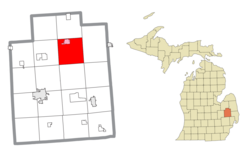
Deerfield Township is a civil township of Lapeer County in the U.S. state of Michigan. The population was 5,695 at the 2010 Census.

Cooper Township is a township in Clearfield County, Pennsylvania, United States. The population was 2,593 at the 2020 census.

Greenwood Township is a township in Clearfield County, Pennsylvania, United States. The township has a population of 363 people, according to the 2020 United States census. Between Mahaffey and Grampian on U.S. Route 219, Greenwood Township contains the villages of Curry Run and Bells Landing. The West Branch of the Susquehanna River passes through it, along with several abandoned and presently used railroad grades.

Morris Township is a township that is located in Clearfield County, Pennsylvania, United States. The population was 2,776 at the time of the 2020 census.

Castanea is a census-designated place (CDP) in Castanea Township, Clinton County, Pennsylvania, United States. The population was 1,125 at the 2010 census.

Elmhurst Township is a township in Lackawanna County, Pennsylvania, United States. The population was 836 at the 2020 census.

Rush Township is a township that is located in Northumberland County, Pennsylvania, United States. The population at the time of the 2010 Census was 1,122, a decline from the figure of 1,189 that was tabulated in 2000.

Branch Township is a township in Schuylkill County, Pennsylvania, United States. Formed in 1838 from part of Norwegian Township, it is named for the west branch of the Schuylkill River, which flows through it.

Ararat Township is a township in Susquehanna County, Pennsylvania, United States. The population was 526 at the 2020 census.

Franklin Township is a township in Susquehanna County, Pennsylvania, United States. The population was 833 at the 2020 census. Salt Springs State Park, a Pennsylvania state park, is in Franklin Township.

North Branch Township is a township in Wyoming County, Pennsylvania. The population was 236 at the 2020 census.


