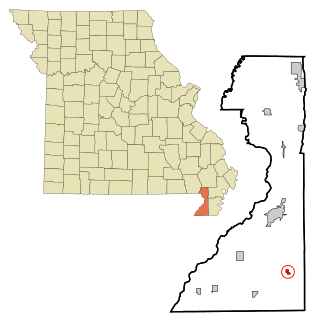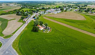
Lamar Heights is a city in Barton County, Missouri, United States. The population was 170 at the 2020 census.

Rives is a town in Dunklin County, Missouri, United States. The population was 63 at the 2010 census.

Parkdale is a village in northern Jefferson County, Missouri, United States. The population was 170 at the 2010 census.

Pascola is a village in Pemiscot County, Missouri, United States. The population was 108 at the 2010 census.

Wardell is a city in Pemiscot County, Missouri, United States. The population was 310 at the 2020 census. It annexed North Wardell in 2007.

Cedar Creek is a village in Cass County, Nebraska, United States. The population was 465 at the 2020 census.

Stuart is a village in Holt County, Nebraska, United States. The population was 590 at the 2010 census.

Cherry Fork is an unincorporated community and former village in Wayne Township, Adams County, Ohio, United States. The population was 170 at the 2020 census. In 2014, voters chose to disincorporate the village.

Palestine is a village in Darke County, Ohio, United States. The population was 180 at the 2020 census.

Freeport is a village in southwestern Harrison County, Ohio, United States. The population was 321 at the 2020 census.

Coalton is a village in Jackson County, Ohio, United States. The population was 445 at the 2020 census.

Hartford is a village in the township of the same name in Licking County, Ohio, United States. The population was 404 at the 2020 census.

Jerry City is a village in Wood County, Ohio, United States. The population was 454 at the 2020 census.

Windsor Heights is a village in Brooke County, West Virginia, United States. It is part of the Wheeling, West Virginia Metropolitan Statistical Area. The population was 423 at the 2010 census. Grace Davis was the mayor as of June 2017.

Bellevue is a village in Brown County, Wisconsin. It was a town until incorporating as a village on February 14, 2003. The population was 15,935 at the time of the 2020 census. Bellevue is part of the Green Bay metropolitan area. Bellevue sits around 4.34 miles (6.99 km) east from central Green Bay.

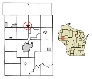
Wheeler is a village in Dunn County, Wisconsin, United States, along the Hay River. The population was 326 at the 2020 census.

Eastman is a village in Crawford County, Wisconsin, United States. The population was 350 at the 2020 census. The village is located within the Town of Eastman.

The Village of Superior is a village in Douglas County, Wisconsin, United States. The population was 677 at the 2020 census, up from 664 at the 2010 census. The village is located immediately south of, and adjacent to the City of Superior and is also adjacent to the Town of Superior.

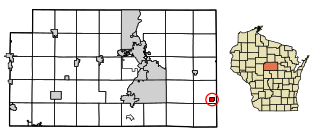
Elderon is a village in Marathon County, Wisconsin, United States. It is part of the Wausau, Wisconsin Metropolitan Statistical Area. The population was 179 at the 2010 census.

Rudolph is a village in Wood County, Wisconsin, United States. The population was 439 at the 2010 census. The village is located within the Town of Rudolph.


