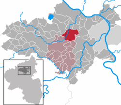
Mendig is a small town in the district Mayen-Koblenz, in Rhineland-Palatinate, Germany. It is situated approximately 6 km north-east of Mayen, and 25 km west of Koblenz. Mendig is the seat of the Verbandsgemeinde Mendig.

Weißenthurm is a town in the district of Mayen-Koblenz, in Rhineland-Palatinate, Germany. It is situated on the left bank of the Rhine, opposite Neuwied, approximately 12 km northwest of Koblenz.

Polch is a town in the district Mayen-Koblenz, Rhineland-Palatinate, Germany. It is part of the Verbandsgemeinde of Maifeld. It is situated east of Mayen.
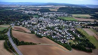
Bassenheim is a municipality in the district Mayen-Koblenz, in Rhineland-Palatinate, Germany. It is part of the Verbandsgemeinde Weißenthurm. It is situated 10 kilometres away from Koblenz. The municipal council consists of 20 people, 13 of them from the CDU and 7 from the SPD.
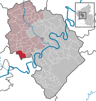
Hetzerath is an Ortsgemeinde – a municipality belonging to a Verbandsgemeinde, a kind of collective municipality – in the Bernkastel-Wittlich district in Rhineland-Palatinate, Germany.

Musweiler is an Ortsgemeinde – a municipality belonging to a Verbandsgemeinde, a kind of collective municipality – in the Bernkastel-Wittlich district in Rhineland-Palatinate, Germany.

Laubach is an Ortsgemeinde in the Cochem-Zell district in Rhineland-Palatinate, Germany. It belongs to the Verbandsgemeinde of Kaisersesch, whose seat is Kaisersesch. Laubach is a state-recognized tourist area.
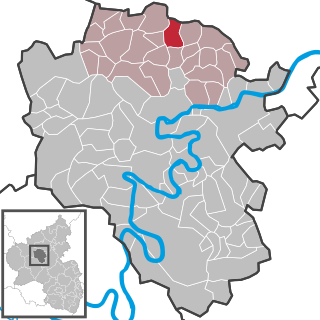
Gamlen is an Ortsgemeinde – a municipality belonging to a Verbandsgemeinde, a kind of collective municipality – in the Cochem-Zell district in Rhineland-Palatinate, Germany. It belongs to the Verbandsgemeinde of Kaisersesch, whose seat is in the like-named town.
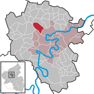
Greimersburg is an Ortsgemeinde – a municipality belonging to a Verbandsgemeinde, a kind of collective municipality – in the Cochem-Zell district in Rhineland-Palatinate, Germany. It belongs to the Verbandsgemeinde of Cochem, whose seat is in the like-named town.

Hesweiler is an Ortsgemeinde – a municipality belonging to a Verbandsgemeinde, a kind of collective municipality – in the Cochem-Zell district in Rhineland-Palatinate, Germany. It belongs to the Verbandsgemeinde of Zell, whose seat is in the municipality of Zell an der Mosel.

Urmersbach is an Ortsgemeinde – a municipality belonging to a Verbandsgemeinde, a kind of collective municipality – in the Cochem-Zell district in Rhineland-Palatinate, Germany. It belongs to the Verbandsgemeinde of Kaisersesch, whose seat is in the like-named town.

Walhausen is an Ortsgemeinde – a municipality belonging to a Verbandsgemeinde, a kind of collective municipality – in the Cochem-Zell district in Rhineland-Palatinate, Germany. It belongs to the Verbandsgemeinde of Zell, whose seat is in the municipality of Zell an der Mosel.
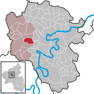
Weiler is an Ortsgemeinde – a municipality belonging to a Verbandsgemeinde, a kind of collective municipality – in the Cochem-Zell district in Rhineland-Palatinate, Germany. It belongs to the Verbandsgemeinde of Ulmen, whose seat is in the like-named town. Weiler is also a recognized tourism municipality (Fremdenverkehrsgemeinde).
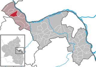
Oberheimbach is an Ortsgemeinde – a municipality belonging to a Verbandsgemeinde, a kind of collective municipality – in the Mainz-Bingen district in Rhineland-Palatinate, Germany.

Boos is a municipality in the county of Mayen-Koblenz in Rhineland-Palatinate, western Germany.

Kobern-Gondorf is a municipality in the district of Mayen-Koblenz in Rhineland-Palatinate, western Germany. It is the seat of the Verbandsgemeinde Rhein-Mosel.

Urmitz is a municipality in the district of Mayen-Koblenz in Rhineland-Palatinate, western Germany. In the 4th millennium BC it contained one of the largest fortified settlements of the time. This archaeological site has since been destroyed by modern construction.
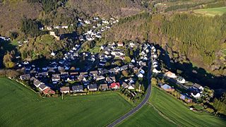
Virneburg is a municipality in the district of Mayen-Koblenz in Rhineland-Palatinate, western Germany. Virneburg Castle is located in the village.
Weißenthurm is a Verbandsgemeinde in the district of Mayen-Koblenz, Rhineland-Palatinate, Germany. The seat of the municipality is in Weißenthurm. The Verbandsgemeinde of Weißenthurm is a local authority in the Mayen-Koblenz district in Rhineland-Palatinate. The municipality has two towns namely Mülheim-Kärlich and Weißenthurm and there are also five other local municipalities. The administrative headquarters of the town is also of the same name, Weißenthurm. It has 35,279 residents and is one of the largest municipalities in Rhineland-Palatinate.

Bereborn is an Ortsgemeinde – a municipality belonging to a Verbandsgemeinde, a kind of collective municipality – in the Vulkaneifel district in Rhineland-Palatinate, Germany. It belongs to the Verbandsgemeinde of Kelberg, whose seat is in the like-named municipality.


