
Kilskeery is a small village and civil parish in County Tyrone, Northern Ireland. It is between Ballinamallard and Trillick. In the 2001 census it had a population of 57 people. Kilskeery is within the Omagh District Council area.

Douglas Bridge is a small village near Strabane in County Tyrone, Northern Ireland. In the 2011 Census it had a population of 124. It lies within the Derry City and Strabane area.
Fermanagh and Tyrone was a county constituency of the Parliament of Northern Ireland from 1921 to 1929. It returned eight MPs, using proportional representation by means of the single transferable vote.
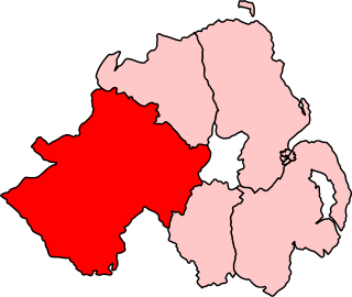
Mid Tyrone was a constituency of the Parliament of Northern Ireland.

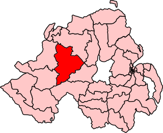
North Tyrone was a constituency of the Parliament of Northern Ireland.
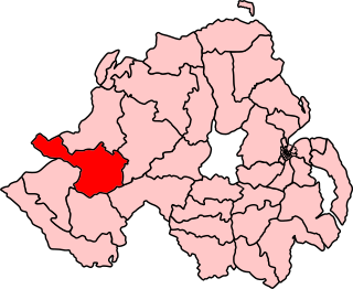
West Tyrone was a constituency of the Parliament of Northern Ireland.
Ballytober Fault is a geological fault in County Antrim, Northern Ireland.
Carnlough Fault is a geological fault in County Antrim, Northern Ireland.
Sixmilewater Fault is a geological fault in County Antrim, Northern Ireland.
Camlough Fault is a geological fault in County Armagh, Northern Ireland.
Kinnegoe Fault is a geological fault in County Armagh, Northern Ireland.
Newry Fault is a geological fault in County Armagh, Northern Ireland.
Orlock Bridge Fault is a major geological fault which extends through County Armagh, Northern Ireland and across the North Channel into Galloway in southern Scotland.
Clogher Valley Fault is a geological fault in County Fermanagh, Northern Ireland. The focus of deformation during the Variscan Orogenic Cycle in Northern Ireland was located on, and between, two major faults. In the north is the northern-bounding fault of the Midland Valley Terrane, the Castle Archdale Fault-Omagh Thrust Fault zone, while in the south is the Clogher Valley Fault. Carboniferous rocks located between these faults were affected by strike-slip, associated with intermittent dextral transpression and transtension. Between the Clogher Valley Fault and the Southern Upland Fault, the southern bounding fault of the Midland Valley Terrane, the Carboniferous rocks are relatively undeformed.
The Killadeas–Seskinore Fault is a geological fault in County Fermanagh, Northern Ireland.
Tempo–Sixmilecross Fault is a geological fault in County Fermanagh, Northern Ireland.
Belcoo Fault is a geological fault in County Fermanagh, Northern Ireland.
Elagh Fault is a geological fault in County Tyrone, Northern Ireland.
Laghy Fault is a geological fault in County Tyrone, Northern Ireland.
Pettigoe Fault is a geological fault in County Tyrone, Northern Ireland.

