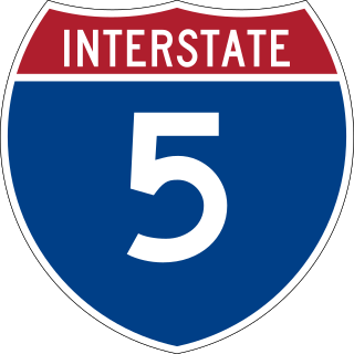
Interstate 5 (I-5) is the main north–south Interstate Highway on the West Coast of the United States, running largely parallel to the Pacific Coast of the contiguous U.S. from Mexico to Canada. It travels through the states of California, Oregon, and Washington, serving several large cities on the West Coast, including San Diego, Los Angeles, Sacramento, Portland, and Seattle. It is the only continuous Interstate highway to touch both the Mexican and Canadian borders. Upon crossing the Mexican border at its southern terminus, I-5 continues to Tijuana, Baja California, as Mexican Federal Highway 1 (Fed. 1). Upon crossing the Canadian border at its northern terminus, it continues to Vancouver as British Columbia Highway 99 (BC 99).

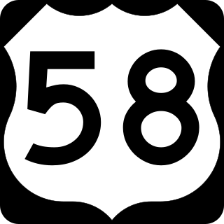
U.S. Route 58 is an east–west U.S. Highway that runs for 508 miles (818 km) from U.S. Route 25E just northwest of Harrogate, Tennessee, to U.S. Route 60 in Virginia Beach, Virginia. Until 1996, when the Cumberland Gap Tunnel opened, US 58 ran only inside the commonwealth of Virginia. It was then extended southwest along a short piece of former US 25E, which no longer enters Virginia, to end at the new alignment in Tennessee. For most of its alignment, it closely parallels Virginia's southern border with North Carolina.

Oregon Route 99 is a state highway that runs between the southern border of Oregon, and the city of Junction City. Oregon Route 99 was formed from parts of the former U.S. Route 99; it shares much of its route with I-5, but much of it is also independent. Between Portland and Junction City, the highway is forked into two routes: Oregon Route 99E and Oregon Route 99W.

Oregon OR 126 (OR 126) is a 204.63-mile-long (329.32 km) state highway that connects coastal, western, and central parts of the U.S. state of Oregon. A short freeway section of OR 126 in Eugene and Springfield is concurrent with Interstate 105 (I-105).

Oregon Route 212 is an Oregon state highway that serves the eastern Portland metro area. It is an east–west route, running between Boring and Clackamas.

Oregon Route 213 is an Oregon state highway that serves the eastern Willamette Valley between Portland and Salem. It is a north–south route. The route is known as the Cascade Highway, though specific segments are generally better known by more localized names.

Oregon Route 214 is an Oregon state highway which runs from the city of Woodburn, southeast into Silver Falls State Park in the Cascade foothills, and then loops back west towards Salem. The northern segment of the highway is known as the Hillsboro-Silverton Highway No. 140, a designation which continues north on OR 219, and the southern segment is known as the Silver Creek Falls Highway No. 163.

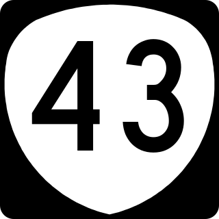
Oregon Route 43 is an Oregon state highway that runs between the cities of Oregon City and Portland, mostly along the western flank of the Willamette River. While it is technically known by the Oregon Department of Transportation as the Oswego Highway No. 3, on maps it is referred to by its route number or by the various street names it has been given.

U.S. Route 101 (US 101), is a major north–south U.S. Highway in Oregon that runs through the state along the coastline near the Pacific Ocean. It runs from the California border, south of Brookings, to the Washington state line on the Columbia River, between Astoria, Oregon, and Megler, Washington.

Oregon Route 22 is an Oregon state highway that runs between the Oregon Coast community of Hebo, to an interchange with U.S. Route 20 near Santiam Pass in the Cascade Mountains. OR 22 traverses several highways of the Oregon state highway system, including the Three Rivers Highway No. 32, part of the Salmon River Highway No. 39, the Willamina–Salem Highway No. 30, part of the Salem Highway No. 72, and the North Santiam Highway No. 162.

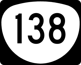
Oregon Route 138 is an Oregon state highway that runs between the city of Elkton and a junction with U.S. Route 97 at Diamond Lake Junction. The highway has several distinct stretches, and is the main east–west highway through Roseburg, and provides access to Crater Lake National Park from the north. The highway is signed east–west.

Pennsylvania Route 724 is a 30-mile (48 km) road in the U.S. commonwealth of Pennsylvania that runs from U.S. Route 422 in Sinking Spring southeast to PA 23 near Phoenixville. PA 724 travels through Berks and Chester counties. The route runs through the southern suburbs of Reading, passing through Shillington and Kenhorst. Past the Reading area, PA 724 continues southeast parallel to the Schuylkill River, passing through or near Birdsboro, Pottstown, and Spring City. The route intersects many roads including US 222 near Shillington, PA 10 and Interstate 176 (I-176) southeast of Reading, PA 345 in Birdsboro, and PA 100 and US 422 near Pottstown.

State Route 100 is a primary state highway in the U.S. state of Virginia. The state highway runs 53.31 miles (85.79 km) from U.S. Route 221 in Hillsville north to SR 61 in Narrows. SR 100 is one of the major highways of the New River Valley, connecting Narrows and Pearisburg in Giles County with Dublin, Pulaski, and Interstate 81 (I-81) in Pulaski County.

U.S. Route 60 (US 60) is an east–west United States Highway within Arizona. The highway runs for 369 miles (594 km) from a junction with Interstate 10 near Quartzsite to the New Mexico State Line near Springerville. As it crosses the state, US 60 overlaps at various points: I-17, I-10, SR 77, SR 260, US 191, and US 180. Between Wickenburg and Phoenix, the route is known as Grand Avenue. From Tempe to Apache Junction, it is known as the Superstition Freeway.

Interstate 5 (I-5) is a major north–south route of the Interstate Highway System in the United States, stretching from the Mexican border at the San Ysidro crossing to the Canadian border near Blaine, Washington. The segment of I-5 in California runs 796.77 miles (1,282.28 km) across the length of the state from San Ysidro to the Oregon state line south of the Medford-Ashland metropolitan area. It is the longest interstate in California, and accounts for more than half of I-5's total length.

Interstate 5 (I-5) in the U.S. state of Oregon is a major Interstate Highway that traverses the state from north to south. It travels to the west of the Cascade Mountains, connecting Portland to Salem, Eugene, Medford, and other major cities in the Willamette Valley and across the northern Siskiyou Mountains. The highway runs 308 miles (496 km) from the California state line near Ashland to the Washington state line in northern Portland, forming the central part of Interstate 5's route between Mexico and Canada.

Interstate 84 (I-84) in the U.S. state of Oregon is a major Interstate Highway that traverses the state from west to east. It is concurrent with U.S. Route 30 (US 30) for most of its length and runs 376 miles (605 km) from an interchange with I-5 in Portland to the Idaho state line near Ontario. The highway roughly follows the Columbia River and historic Oregon Trail in northeastern Oregon, and is designated as part of Columbia River Highway No. 2 and all of the Old Oregon Trail Highway No. 6; the entire length is also designated as the Vietnam Veterans Memorial Highway. I-84 intersects several of the state's main north–south roads, including US 97, US 197, I-82, and US 395.

U.S. Route 219 (US 219) is a part of the U.S. Highway System that runs from Rich Creek, Virginia, to West Seneca, New York. From near Grantsville, Maryland north to Ebensburg, Pennsylvania, US 219 is Corridor N of the Appalachian Development Highway System. From Meyersdale, Pennsylvania to just south of Carrolltown, Pennsylvania, US 219 is a limited-access highway. From Carrolltown US 219 runs largely as a two-lane road to DuBois, Pennsylvania, through which it runs as Brady Street, and then returns to a two-lane road after a junction with Interstate 80. US 219 runs directly through the towns of Brockway, Ridgway, and Johnsonburg before reaching Wilcox, where PA Route 321 splits and heads for the town of Kane. US 219 continues north as a two-lane road until reaching Bradford, where it becomes a limited-access highway and remains so until reaching the New York border. On August 9, 2007, Pennsylvania State Transportation Secretary Allen D. Biehler unveiled four signs along US Route 219 that dedicated the portion of the route in Somerset County, Pennsylvania as the Flight 93 Memorial Highway.

U.S. Route 220 is a U.S. Highway that is a spur route of US 20. It runs from Rockingham, North Carolina, north to South Waverly, Pennsylvania. In the state of Pennsylvania, the route runs 248 miles (399 km) from the Maryland border in Cumberland Valley Township, Bedford County northeast to an interchange with Interstate 86 (I-86)/New York State Route 17 in South Waverly, Bradford County a short distance south of the New York border. Through the state, US 220 passes through the cities and towns of Bedford, Altoona, State College, Lock Haven, Williamsport, and Towanda. US 220 is concurrent with the entire completed Pennsylvania segment of I-99 between I-70/I-76 in Bedford and I-80 near Bellefonte. US 220 is also a freeway around Bedford, along the I-80 concurrency between Bellefonte and Mill Hall, between Mill Hall and Jersey Shore, from the western end of Williamsport to near Halls, and near the New York border. The remainder of US 220 in Pennsylvania is mostly a two-lane surface road.

Pass Creek is a tributary of Elk Creek in the Umpqua River basin of the U.S. state of Oregon. It begins at Divide between the Coast Fork Willamette River watershed and the Umpqua watershed along Interstate 5 (I-5) in Lane County. It flows west into Douglas County and continues generally southwest to meet Elk Creek at the city of Drain, 24 miles (39 km) upstream of Elk Creek's confluence with the Umpqua.


