Priceville, Alabama | |
|---|---|
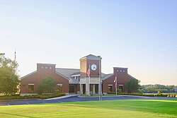 City Hall | |
 Flag Logo | |
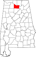
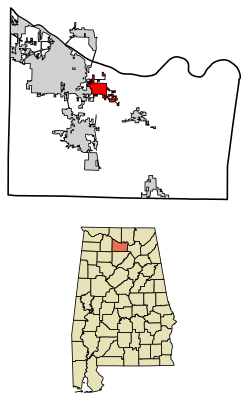 Location in Morgan County, Alabama | |
| Coordinates: 34°31′16″N86°52′47″W / 34.52111°N 86.87972°W | |
| Country | United States |
| State | Alabama |
| County | Morgan |
| Area | |
• Total | 5.91 sq mi (15.31 km2) |
| • Land | 5.88 sq mi (15.22 km2) |
| • Water | 0.031 sq mi (0.08 km2) |
| Elevation | 600 ft (180 m) |
| Population | |
• Total | 3,513 |
| • Density | 597.5/sq mi (230.69/km2) |
| Time zone | UTC-6 (Central (CST)) |
| • Summer (DST) | UTC-5 (CDT) |
| FIPS code | 01-62472 |
| GNIS feature ID | 2407160 [2] |
| Website | cityofpriceville |
Priceville is the third largest municipality in Morgan County, Alabama, United States and is included in the Decatur Metropolitan Area, as well as the Huntsville-Decatur Combined Statistical Area. The 2020 census counted a population of 3,513, [3] up from 2,658 in 2010.
Contents
Priceville was incorporated in 1975. [4]