This article relies largely or entirely on a single source .(August 2020) |
| Puget Lowland Forests | |
|---|---|
 Lowland forest of Stanley Park, Vancouver | |
 Puget lowland forests ecoregion on a relief map encircled in magenta | |
| Ecology | |
| Realm | Nearctic |
| Biome | Temperate coniferous forests |
| Borders | |
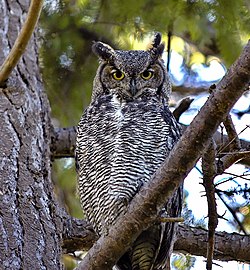
| Bird species | 195 [1] |
| Mammal species | 68 [1] |
| Geography | |
| Area | 22,533 km2 (8,700 sq mi) |
| Countries | |
| States | |
| Conservation | |
| Conservation status | Critical/Endangered |
| Habitat loss | 41% [1] |
| Protected | 5.91% [1] |
Puget lowland forests is a temperate coniferous forest ecoregion on the Pacific coast of North America, as defined by the World Wildlife Fund (WWF) categorization system.