This article needs additional citations for verification .(August 2019) |
| Pulaski State Park | |
|---|---|
| Pulaski State Park and Recreational Area | |
 Pulaski State Park in 2019 | |
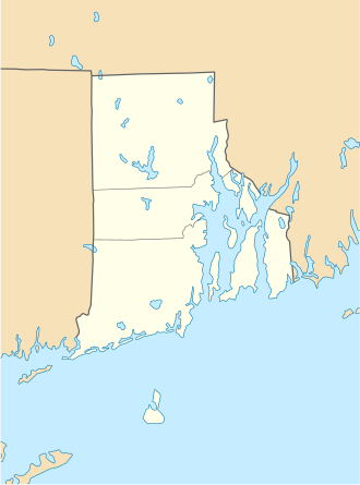 Location in Rhode Island  Location in United States | |
| Location | Glocester, Rhode Island |
| Nearest city | Providence County, Rhode Island |
| Coordinates | 41°55′37″N71°47′44″W / 41.92696°N 71.79555°W |
| Area | 5,967 acres (24.15 km2) |
| Established | 1946 |
| Governing body | Rhode Island Department of Environmental Management |
| Website | Official website |
Pulaski State Park is a 100-acre state park near the village of Chepachet in Glocester, Rhode Island. It was founded in 1939 and contains a day use facility inside the George Washington Management Area with a beach and covered picnic areas. [1] The Civilian Conservation Corps built a road to the park when "[i]n 1940, the state acquired a lease from the federal government for what is now the Casimir Pulaski State Park and Peck Pond in what is now the Glocester-Burrillville line. " [2]