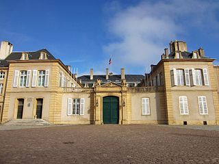
Moselle is the most populous department in Lorraine, in the east of France, and is named after the river Moselle, a tributary of the Rhine, which flows through the western part of the department. Inhabitants of the department are known as Mosellans.

Bas-Rhin is a department in Alsace which is a part of the Grand Est super-region of France. The name means "Lower Rhine", however, geographically speaking it belongs to the Upper Rhine region. It is, with the Haut Rhin, one of the two departments of the traditional Alsace region. The more populous and densely populated of the pair, it had 1,125,559 inhabitants in 2017. The prefecture and the General Council are based in Strasbourg. The INSEE and Post Code is 67.

Haut-Rhin is a department in the Grand Est region of France, named after the river Rhine. Its name means Upper Rhine. Haut-Rhin is the smaller and less populated of the two departments of the former administrative Alsace region, the other being the Bas Rhin. Especially after the 1871 cession of the southern territory known since 1922 as Territoire de Belfort, although it is still densely populated compared to the rest of metropolitan France.

The Imperial Territory of Alsace-Lorraine was a territory created by the German Empire in 1871, after it annexed most of Alsace and the Moselle department of Lorraine following its victory in the Franco-Prussian War. The Alsatian part lay in the Rhine Valley on the west bank of the Rhine River and east of the Vosges Mountains. The Lorraine section was in the upper Moselle valley to the north of the Vosges.

Munster, Munster-géromé, or (Alsatian) Minschterkaas, is a strong-smelling soft cheese with a subtle taste, made mainly from milk from the Vosges, between Alsace, Lorraine and Franche-Comté in France. Munster is derived from the Alsace town of Munster, where, among Vosgian abbeys and monasteries, the cheese was conserved and matured in monks' cellars.

Raon-l'Étape is a commune in the Vosges Department in Grand Est in northeastern France.
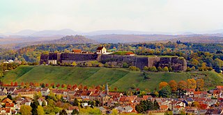
Bitche is a commune in the Moselle department of the Grand Est administrative region in north-eastern France. It is the Pays de Bitche's capital city and the seat of the canton of Bitche and the communauté de communes du Pays de Bitche.

Meisenthal is a commune in the Moselle department of the Grand Est administrative region in north-eastern France.
The various toponyms in the historical region of Lorraine are often known by very different names depending on the language in which they are expressed. This article provides an understanding of the linguistic and historical origin of this diversity and lists a number of correspondences for communes and lesser localities in the four departments of the former region: Meuse, Meurthe-et-Moselle, Moselle, and Vosges.

Clérey-la-Côte is a commune in the Vosges department in Grand Est in northeastern France.
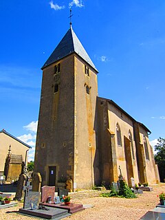
Sillegny is a commune in the Moselle department in Grand Est in north-eastern France.

Grandfontaine is a commune in the Bas-Rhin department in Grand Est in north-eastern France. In the German dialect of the region it is called Grosbrun.

Rohrbach-lès-Bitche is a commune in the Moselle department of the Grand Est administrative region in north-eastern France.

Philippsbourg is a commune in the Moselle department of the Grand Est administrative region in north-eastern France.

Schorbach is a commune in the Moselle department of the Grand Est administrative region in north-eastern France.

Marainville-sur-Madon is a commune in the Vosges department in Grand Est in northeastern France.

La Neuveville-sous-Châtenois is a commune in the Vosges department in Grand Est in northeastern France.

Nomexy is a commune in the Vosges department in Grand Est in northeastern France.

Raon-aux-Bois is a commune in the Vosges department in Grand Est in northeastern France.

Raon-sur-Plaine is a commune in the Vosges department in Grand Est in northeastern France.


