Qacha's Nek Airport | |||||||||||
|---|---|---|---|---|---|---|---|---|---|---|---|
| Summary | |||||||||||
| Airport type | Public | ||||||||||
| Serves | Qacha's Nek | ||||||||||
| Elevation AMSL | 6,100 ft / 1,859 m | ||||||||||
| Coordinates | 30°06′40″S28°40′20″E / 30.11111°S 28.67222°E | ||||||||||
| Map | |||||||||||
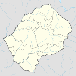 UNE Location of the airport in Lesotho | |||||||||||
 | |||||||||||
| Runways | |||||||||||
| |||||||||||
Qacha's Nek Airport( IATA : UNE, ICAO : FXQN) is an airport serving Qacha's Nek, the camptown (capital) of Qacha's Nek District in Lesotho.