Katse Airport | |||||||||||
|---|---|---|---|---|---|---|---|---|---|---|---|
| Summary | |||||||||||
| Airport type | Public | ||||||||||
| Serves | Katse Dam | ||||||||||
| Elevation AMSL | 7,000 ft / 2,134 m | ||||||||||
| Coordinates | 29°21′49″S28°31′38″E / 29.36361°S 28.52722°E | ||||||||||
| Map | |||||||||||
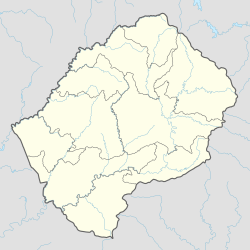 FXKA Location of the airport in Lesotho | |||||||||||
| Runways | |||||||||||
| |||||||||||
Katse Airport( ICAO : FXKA) is an airport serving the Katse Dam section of the Lesotho Highlands Water Project in north-central Lesotho.
Contents
The high elevation runway has a 215 metres (705 ft) overrun on the south end, and a steep dropoff to the Malibamatso River on the north end. Some sections of the runway are built on rock fill and have no shoulder. There are hills and ravines in all quadrants.