Mokhotlong Airport | |||||||||||||||
|---|---|---|---|---|---|---|---|---|---|---|---|---|---|---|---|
| Summary | |||||||||||||||
| Airport type | Public | ||||||||||||||
| Serves | Mokhotlong | ||||||||||||||
| Elevation AMSL | 7,200 ft / 2,195 m | ||||||||||||||
| Coordinates | 29°16′50″S29°04′15″E / 29.28056°S 29.07083°E | ||||||||||||||
| Map | |||||||||||||||
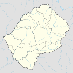 MKH Location of the airport in Lesotho | |||||||||||||||
| Runways | |||||||||||||||
| |||||||||||||||
Mokhotlong Airport( IATA : MKH, ICAO : FXMK) is an airport serving Mokhotlong, the camptown of Mokhotlong District, Lesotho.