Mafeteng Airport | |||||||||||
|---|---|---|---|---|---|---|---|---|---|---|---|
| Summary | |||||||||||
| Airport type | Public | ||||||||||
| Serves | Mafeteng, Lesotho | ||||||||||
| Elevation AMSL | 5,350 ft / 1,631 m | ||||||||||
| Coordinates | 29°48′05″S27°14′40″E / 29.80139°S 27.24444°E | ||||||||||
| Map | |||||||||||
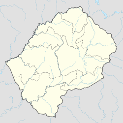 MFC Location of the airport in Lesotho | |||||||||||
 | |||||||||||
| Runways | |||||||||||
| |||||||||||
Mafeteng Airport( IATA : MFC, ICAO : FXMF) is an airport serving the city of Mafeteng, the capital of Mafeteng District, Lesotho.
Contents
The Maseru (Mazenod) VOR-DME (Ident: MZV) is located 23.7 nautical miles (43.9 km) northeast of the airport. [4]