
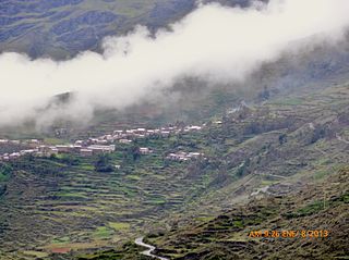
The Cangallo Province is a province located in the Ayacucho Region of Peru. It is one of the eleven that make up the region. The province has a population of 36,977 inhabitants as of census 2005. The capital of the province is the city of Cangallo.

Layo District is one of eight districts in the Canas Province in Peru. The seat of the Layo District is the village Layo.

Canchis Province is one of thirteen provinces in the Cusco Region in the southern highlands of Peru.

Espinar Province is one of thirteen provinces in the Cusco Region in the southern highlands of Peru.

Quispicanchi Province is one of thirteen provinces in the Cusco Region in the southern highlands of Peru.

The Ocongate District is one of the twelve districts in the Quispicanchi Province in Peru. Created on January 2, 1857, its capital is the town of Ocongate.

Sandia Province is a province of the Puno Region in Peru. The capital of the province is the city of Sandia.

Melgar Province is a province of the Puno Region in Peru. The capital of the province is the city of Ayaviri.
Coronel Castañeda District is one of eight districts of the Parinacochas Province in Peru.
Quwasa District is one of ten districts of the Carabaya Province in Peru.
Krusiru District is one of ten districts of the province Carabaya in Peru.
Ituata District is one of ten districts of the Carabaya Province in Peru.
Macusani District is one of ten districts of the Carabaya Province in Peru. Its seat is Macusani.
Ullachiya District is one of ten districts of the province Carabaya in Peru.

Santa Lucía District is one of ten districts of the province Lampa in Peru.

Nuñuwa District is one of nine districts of the Melgar Province in Peru.. The town of Nuñoa has become a destination for tourists as they start the climb to Macchu Picchu. The growth of this local tourist industry has been stimulating changes in society, as the anthropologist Morgan Hoke has shown in a study of the impact of tourist eateries, especially pizzerias, on dairy and cheese production and on consequently on women's participation in the Nuñoa economy.
Patampuku District is one of ten districts of the Sandia Province in Peru.
Putina District is one of five districts of the San Antonio de Putina Province in Peru.
Checacupe or Ch'iqa Kupi is one of eight districts of the Canchis Province in the Cusco Region in Peru.
Pitumarca District is one of eight districts of the province Canchis in Peru.