Loire is a landlocked département in the Auvergne-Rhône-Alpes region of France occupying the river Loire's upper reaches. Its prefecture is Saint-Étienne. It had a population of 765,634 in 2019.

Saint-Nizier-le-Désert is a commune in the Ain department in eastern France.

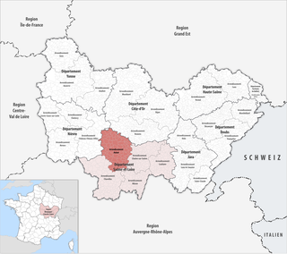
The arrondissement of Autun is an arrondissement of France in the Saône-et-Loire department in the Bourgogne-Franche-Comté region. It has 89 communes. Its population is 131,392 (2016), and its area is 1,994.3 km2 (770.0 sq mi).

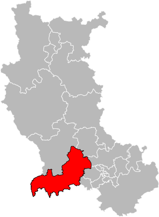
The arrondissement of Montbrison is located in the Loire department in the Auvergne-Rhône-Alpes region of France. It has 135 communes. Its population is 181,551 (2016), and its area is 1,943.2 km2 (750.3 sq mi).

The arrondissement of Roanne is located in the Loire department in the Auvergne-Rhône-Alpes region of France. It is composed of 113 communes. Its population is 157,160 (2016), and its area is 1,779.9 km2 (687.2 sq mi).

Saint-Galmier is a city in eastern France. It is a commune in Loire department, and belongs to the arrondissement of Montbrison. Saint-Galmier covers an area of 19.5 square kilometers. As of January 2021, it had a population of 5,842.

Saint-Just-Saint-Rambert is a commune in the Loire department in central France.

Saint-Nizier-le-Bouchoux is a commune in the Ain department in eastern France.

Saint-Just-Malmont is a commune in the Haute-Loire department in south-central France.

Saint-Pierre-des-Corps is a commune in the French department of Indre-et-Loire, Centre-Val de Loire, France. It is located about 4 km (2.5 mi) from Tours. During the French Revolution, it was called La Clarté-Républicaine.

Saint-Nizier-du-Moucherotte is a commune in the Isère department in the Auvergne-Rhône-Alpes region in Southeastern France.

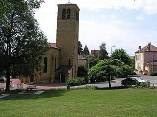
Saint-Nizier-sous-Charlieu is a commune in the Loire department in central France.

Saint-André-des-Eaux is a commune in the Loire-Atlantique department in western France.

Saint-Cyprien is a commune in the Loire department in central France.

Saint-Nizier-sur-Arroux is a commune in the Saône-et-Loire department in the region of Bourgogne-Franche-Comté in eastern France.

Saint-Étienne Métropole is the métropole, an intercommunal structure, centred on the city of Saint-Étienne. It is located in the Loire department, in the Auvergne-Rhône-Alpes region, central France. It was created in January 2018, replacing the previous Communauté urbaine Saint-Étienne Métropole. Its area is 723.5 km2. Its population was 404,607 in 2018, of which 173,089 in Saint-Étienne proper.
The canton of Saint-Bonnet-le-Château is a French former administrative division located in the department of Loire and the Rhone-Alpes region. It was disbanded following the French canton reorganisation which came into effect in March 2015. It consisted of 11 communes, which joined the canton of Saint-Just-Saint-Rambert in 2015. It had 8,602 inhabitants (2012).

The canton of Saint-Just-Saint-Rambert is a French administrative division located in the department of Loire and the Auvergne-Rhône-Alpes region. At the French canton reorganisation which came into effect in March 2015, the canton was expanded from 12 to 18 communes:

The canton of Charlieu is a French administrative division located in the department of Loire and the Auvergne-Rhône-Alpes region. At the French canton reorganisation which came into effect in March 2015, the canton was expanded from 14 to 31 communes:


