| This article includes a list of references, related reading or external links, but its sources remain unclear because it lacks inline citations .(September 2014) (Learn how and when to remove this template message) |
| Sajmište Сајмиште | |
|---|---|
| Urban neighborhood | |
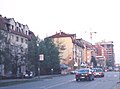
Sajmište, Liberation boulevard | |
| Country |  |
| Province | Vojvodina |
| District | South Bačka |
| Municipality | Novi Sad |
| Time zone | CET (UTC+1) |
| • Summer (DST) | CEST (UTC+2) |
| Area code | +381(0)21 |
| Car plates | NS |

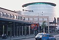
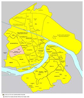
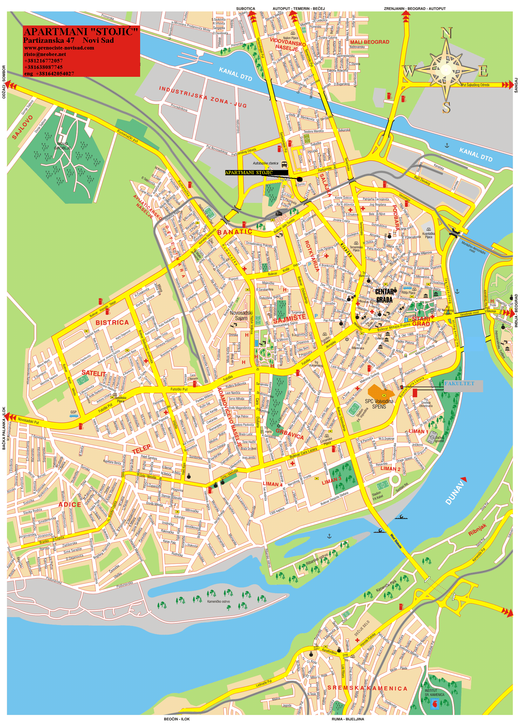
Sajmište (Serbian : Сајмиште) is an urban neighborhood of the city of Novi Sad, Serbia.
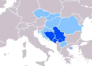
Serbian is the standardized variety of the Serbo-Croatian language mainly used by Serbs. It is the official language of Serbia, the territory of Kosovo, and one of the three official languages of Bosnia and Herzegovina. In addition, it is a recognized minority language in Montenegro where it is spoken by the relative majority of the population, as well as in Croatia, North Macedonia, Romania, Hungary, Slovakia, and the Czech Republic.
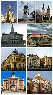
Novi Sad is the second largest city of Serbia, the capital of the autonomous province of Vojvodina and the administrative center of the South Bačka District. It is located in the southern part of the Pannonian Plain, on the border of the Bačka and Srem geographical regions. Bordering the banks of the Danube river, the city faces the northern slopes of Fruška Gora mountain.