San-Martino-di-Lota

Last updated

San-Martino-di-Lota
San-Martino-di-Lota village.jpg
The village of San-Martino-di-Lota
Blason ville fr San-Martino-di-Lota (Haute-Corse).svg
Location of San-Martino-di-Lota
San-Martino-di-Lota
France location map-Regions and departements-2016.svg
Red pog.svg
San-Martino-di-Lota
Corse region location map.svg
Red pog.svg
San-Martino-di-Lota
Coordinates: 42°43′26″N9°27′21″E / 42.7239°N 9.4558°E / 42.7239; 9.4558
Country France
Region Corsica
Department Haute-Corse
Arrondissement Bastia
Canton Cap Corse
Intercommunality CA Bastia
Government
  Mayor (20202026) Marie-Hélène Padovani [1]
Area
1
9.54 km2 (3.68 sq mi)
Population
 (Jan. 2020) [2]
2,920
  Density310/km2 (790/sq mi)
Time zone UTC+01:00 (CET)
  Summer (DST) UTC+02:00 (CEST)
INSEE/Postal code
2B305 /20200
Elevation0–984 m (0–3,228 ft)
(avg. 260 m or 850 ft)
1 French Land Register data, which excludes lakes, ponds, glaciers > 1 km2 (0.386 sq mi or 247 acres) and river estuaries.

San-Martino-di-Lota (French form) or San Martino di Lota (Italian form; Corsican : San Martinu di Lota), is a commune in the French department of Haute-Corse, collectivity and island of Corsica.

Contents

Population

Historical population
YearPop.±% p.a.
1968 1,649    
1975 2,132+3.74%
1982 2,183+0.34%
1990 2,466+1.54%
1999 2,530+0.29%
2007 2,726+0.94%
2012 2,882+1.12%
2017 2,901+0.13%
Source: INSEE [3]

See also

Related Research Articles

<span class="mw-page-title-main">Aiti</span> Commune in Corsica, France

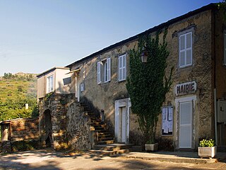
Aiti is a commune in the Haute-Corse department of France on the island of Corsica.

<span class="mw-page-title-main">Arrondissement of Bastia</span> Arrondissement in Corsica, France

The arrondissement of Bastia is an arrondissement of France in the Haute-Corse department in the territorial collectivity of Corsica. It has 27 communes. Its population is 87,776 (2016), and its area is 473.8 km2 (182.9 sq mi).

<span class="mw-page-title-main">Cap Corse</span> A 40 kilometre (25 mile) long peninsula located at the northern tip of Corsica

Cap Corse, a geographical area of Corsica, is a 40 kilometres (25 mi) long peninsula located at the northern tip of the island. At the base of it is the second largest city in Corsica, Bastia. Cap Corse is also a Communauté de communes comprising 18 communes. The area of the Communauté de communes is 305.7 km2, and its population was 6,706 in 2019.

Canale-di-Verde or Canale di Verde is a commune in the French department of Haute-Corse, collectivity and island of Corsica.

<span class="mw-page-title-main">Olmeta-di-Capocorso</span> Commune in Corsica, France

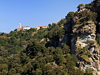
Olmeta-di-Capocorso is a commune in the Haute-Corse department of France on the island of Corsica.

<span class="mw-page-title-main">Penta-di-Casinca</span> Commune in Corsica, France

Penta-di-Casinca or Penta di Casinca, is a commune in the Haute-Corse department of France on the island of Corsica.

<span class="mw-page-title-main">Prunelli-di-Casacconi</span> Commune in Corsica, France

Prunelli-di-Casacconi is a commune in the Haute-Corse department of France on the island of Corsica.

<span class="mw-page-title-main">Prunelli-di-Fiumorbo</span> Commune in Corsica, France

Prunelli-di-Fiumorbo is a commune in the Haute-Corse department of France on the island of Corsica.

<span class="mw-page-title-main">Rapale</span> Commune in Corsica, France

Rapale is a commune in the French Department of Haute-Corse on the island of Corsica.

<span class="mw-page-title-main">San-Gavino-di-Fiumorbo</span> Commune in Corsica, France

San-Gavino-di-Fiumorbo is a commune in the Haute-Corse department of France on the island of Corsica.

<span class="mw-page-title-main">San-Gavino-di-Tenda</span> Commune in Corsica, France

San-Gavino-di-Tenda is a commune in the Haute-Corse department of France on the island of Corsica.

San-Giovanni-di-Moriani is a commune in the Haute-Corse department of France on the island of Corsica.

<span class="mw-page-title-main">San-Giuliano, Haute-Corse</span> Commune in Corsica, France

San-Giuliano or San Giuliano di Campoloro, is a French commune in the Haute-Corse department, island of Corsica.

<span class="mw-page-title-main">San-Nicolao, Haute-Corse</span> Commune in Corsica, France

San-Nicolao or San Nicolao, is a commune in the Haute-Corse department, on the island of Corsica, France.

<span class="mw-page-title-main">Santa-Maria-di-Lota</span> Commune in Corsica, France

Santa-Maria-di-Lota is a commune in the Haute-Corse department of France on the island of Corsica.

<span class="mw-page-title-main">Santo-Pietro-di-Tenda</span> Commune in Corsica, France

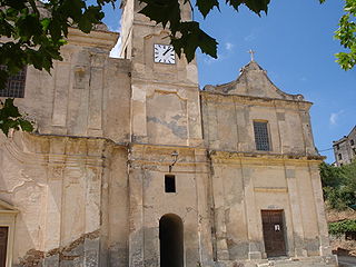
Santo-Pietro-di-Tenda or Santo Pietro di Tenda is a French commune in the Haute-Corse department on the island of Corsica.

<span class="mw-page-title-main">Ville-di-Pietrabugno</span> Commune in Corsica, France

Ville-di-Pietrabugno is a commune in the Haute-Corse department of France on the island of Corsica.

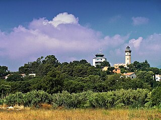
The Canton of Cap Corse is an administrative division of the French department of Haute-Corse, Corsica. It was created at the French canton reorganisation which came into effect in March 2015. Its seat is in San-Martino-di-Lota.

<span class="mw-page-title-main">Poggiolo (stream)</span> Stream in the department of Haute-Corse, Corsica

The Poggiolo is a small coastal stream in the department of Haute-Corse, Corsica, France. It enters the Tyrrhenian Sea from the east of the Cap Corse peninsula.

Communauté d'agglomération de Bastia is the communauté d'agglomération, an intercommunal structure, centred on the city of Bastia. It is located in the Haute-Corse department, in the Corsica region, southeastern France. Created in 2001, its seat is in Bastia. Its area is 68.1 km2. Its population was 62,240 in 2019, of which 48,503 in Bastia proper.

References

  1. "Répertoire national des élus: les maires". data.gouv.fr, Plateforme ouverte des données publiques françaises (in French). 2 December 2020.
  2. "Populations légales 2020". The National Institute of Statistics and Economic Studies. 29 December 2022.
  3. Population en historique depuis 1968, INSEE