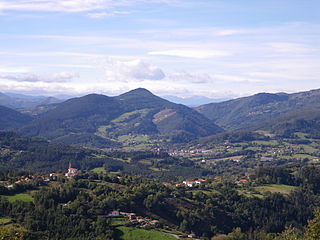
Enkarterri is a comarca of the province of Biscay, in the Basque Country, Spain. It is one of the seven eskualdeak/comarcas or districts that make up the province of Biscay. Its administrative centre is Balmaseda.
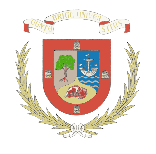
University of Cantabria (UC), is a public university located in Santander, Torrelavega and Comillas in Cantabria, Spain. It was founded in 1972 and is organized in 15 schools and colleges.

The Battle of Santander was fought in the War in the North campaign of the Spanish Civil War during the summer of 1937. Santander's fall on 26 August assured the Nationalist conquest of the province of Santander, now Cantabria. The battle devastated the Republic's "Army of the North"; 60,000 soldiers were captured by the Nationalists.

The Parliament of Cantabria is the unicameral legislature of the autonomous community of Cantabria. It consists of 35 members called "deputies" which are freely elected by the citizens of the region. The Parliament convenes at the Saint Raphael Hospital, an 18th-century building in the city of Santander rehabilitated in the 1980s to house the Regional Assembly.

Sociedad Deportiva Barreda Balompié is a football team based in Barreda, Torrelavega in the autonomous community of Cantabria. Founded in 1917, the team plays in Tercera Federación – Group 3. The club's home ground is Solvay, which has a capacity of 5,100 spectators.

Centro Deportivo Bezana is a Spanish football team based in Santa Cruz de Bezana, in the autonomous community of Cantabria. Founded in 1970 it plays in Tercera Federación – Group 3, holding home games at Campo de Fútbol Municipal de Bezana, which has a capacity of 3,500 spectators.

Cultural Deportiva Guarnizo is a Spanish football team based in Guarnizo, El Astillero, in the autonomous community of Cantabria. Founded in 1922, it plays in Tercera Federación – Group 3, holding home games at Estadio El Pilar, which has a capacity of 2,700 spectators.

Selaya Fútbol Club is a football team based in Selaya in the autonomous community of Cantabria. Founded in 1931, the team plays in Tercera División RFEF – Group 3. The club's home ground is El Castañal, which has a capacity of 2,000 spectators.

Medio Cudeyo is a municipality in Cantabria in Spain, around 15 km from Santander.
Selaya is a municipality located in the autonomous community of Cantabria, Spain.
Reocín is a municipality in Cantabria, Spain.
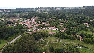
Ruiloba is a municipality in Cantabria Province, Spain.

Ruesga is a municipality in Cantabria Province, Spain. It includes the following 6 villages: Calseca, Matienzo, Mentera Barruelo, Ogarrio, Riva (capital) and Valle. As of 2016, a total of 870 people lived in Ruesga. Its economy is primarily agriculture and forestry; livestock mountain or forestal exploitation of wealth employs 53.1% of the workforce. There were almost 5,000 heads of livestock spread over 198 farms. The unemployment rate was 14.7%.
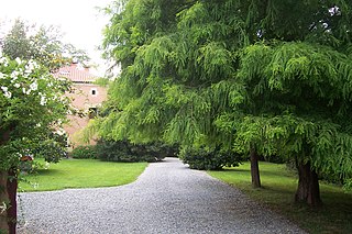
Voto is a municipality in Cantabria, Spain.

Meruelo is a municipality in Cantabria, Spain.
Solórzano is a municipality in Cantabria, Spain.

Ribamontán al Mar is a municipality in Cantabria, Spain.

Ruente is a municipality in Cantabria, Spain. It is situated in the lowest part of the Cabuerniga valley and it is the biggest village in the zone.

Valdáliga is a municipality in Cantabria, Spain.

Cantabria is one of the 59 constituencies represented in the Senate of Spain, the upper chamber of the Spanish parliament, the Cortes Generales. The constituency elects four senators. Its boundaries correspond to those of the Spanish province of Cantabria. The electoral system uses limited voting, with electors voting for individual candidates instead of parties. Electors can vote for up to three candidates.


