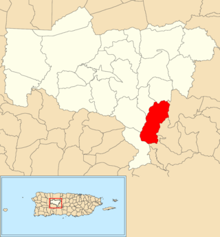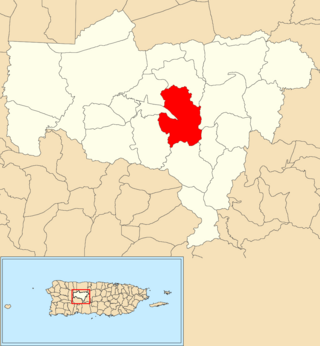
Caonillas Abajo is a barrio in the municipality of Utuado, Puerto Rico. Its population in 2010 was 965.

Consejo is a barrio in the municipality of Utuado, Puerto Rico. Its population in 2010 was 610.

Caonillas Arriba is a barrio in the municipality of Utuado, Puerto Rico. Its population in 2010 was 296.

Playa Barrio is a barrio in the municipality of Santa Isabel, Puerto Rico. Its population in 2010 was 807.

Ángeles is a barrio in the municipality of Utuado, Puerto Rico. Its population in 2010 was 3,056.

Caguana is a barrio in the municipality of Utuado, Puerto Rico. Its population in 2010 was 4,009.

Caníaco is a barrio in the municipality of Utuado, Puerto Rico. Its population in 2010 was 198.

Guaonico is a barrio in the municipality of Utuado, Puerto Rico. Its population in 2010 was 538.

Mameyes Abajo is a barrio in the municipality of Utuado, Puerto Rico. Its population in 2010 was 1,136. The corresponding Mameyes Arriba is located in neighbouring Jayuya at a higher elevation, but was once part of Utuado as well.

Paso Palma is a barrio in the municipality of Utuado, Puerto Rico. Its population in 2010 was 582.

Roncador is a barrio in the municipality of Utuado, Puerto Rico. Its population in 2010 was 637.

Salto Abajo is a barrio in the municipality of Utuado, Puerto Rico. Its population in 2010 was 3,929.

Salto Arriba is a barrio in the municipality of Utuado, Puerto Rico. Its population in 2010 was 617.

Viví Abajo is a barrio in the municipality of Utuado, Puerto Rico. Its population in 2010 was 3,143.

Sabana Grande is a barrio in the municipality of Utuado, Puerto Rico. Its population in 2010 was 1,112.

Tetuán is a barrio in the municipality of Utuado, Puerto Rico. Its population in 2010 was 680.

Jayuya Abajo is a barrio in the municipality of Jayuya, Puerto Rico. Its population in 2010 was 3,367.

Santa Isabel barrio-pueblo is a barrio and the administrative center (seat) of Santa Isabel, a municipality of Puerto Rico. Its population in 2010 was 5,133.

Santa Rosa is a barrio in the municipality of Utuado, Puerto Rico. Its population in 2010 was 0.

Arenas is a barrio in the municipality of Utuado, Puerto Rico. Its population in 2010 was 1,860.


