Sidney Township | |
---|---|
Coordinates: 40°00′38″N88°03′59″W / 40.01056°N 88.06639°W Coordinates: 40°00′38″N88°03′59″W / 40.01056°N 88.06639°W | |
Country | United States |
State | Illinois |
County | Champaign |
Established | November 8, 1859 |
Area | |
• Total | 36.44 sq mi (94.4 km2) |
• Land | 36.32 sq mi (94.1 km2) |
• Water | 0.12 sq mi (0.3 km2) 0.33% |
Elevation | 669 ft (204 m) |
Population (2020) | |
• Total | 1,709 |
• Density | 47/sq mi (18/km2) |
Time zone | UTC-6 (CST) |
• Summer (DST) | UTC-5 (CDT) |
FIPS code | 17-019-69888 |
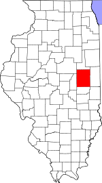
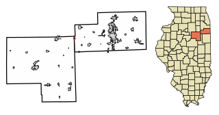
Sidney Township is a township in Champaign County, Illinois, USA. As of the 2020 census, its population was 1,709 and it contained 723 housing units. [1]
Sidney is Township 18 North, Range 10 East of the Third Principal Meridian.
In 1881 the Wabash railroad built a spur from Sidney to Urbana on the route of a vanished 1838 unpaved dirt road going from Paris in Edgar County to Urbana. In 1854 the road was part of the mail stage route from Urbana to Vincennes, Indiana. The road disappeared when township roads on section lines were established in 1860.
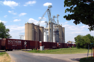
According to the 2010 census, the township has a total area of 36.44 square miles (94.4 km2), of which 36.32 square miles (94.1 km2) (or 99.67%) is land and 0.12 square miles (0.31 km2) (or 0.33%) is water. [2] The stream of Rush Branch runs through this township. The Salt Fork of the Vermilion River winds its way through the northern sections of the township. Frito-Lay has a large corn handling facility located in section 12 ( 40°1′50″N88°1′34″W / 40.03056°N 88.02611°W ) along the county highway between Sidney and Homer; it sits near a major Norfolk Southern east–west rail line.
(This list is based on USGS data and may include former settlements.)
The township contains six cemeteries: Bliss (Section 11), Boys Family, Brownfield, Brumley, Lynn Grove (Section 31) and Mount Hope.
The historic 1867 Umbanhower Cemetery was in Section 1.
Block elevators. Two elevators (Section 33) were built along the Chicago and Eastern Illinois—Union Pacific railroad. Isaac Cole Grain and Coal operated a wooden elevator there in 1913.
Deers elevator (Section 6) was built along the Wabash—Norfolk Southern railroad spur running between Urbana and Sidney 1881−1990, and was operated by Dryer and Burt Grain and Coal in 1913. The elevator has been demolished. Deers Station depot had a post office 1887−1913 at the southeast intersection of county roads 1200N and 1800E, that was also demolished. The railroad spur and adjacent siding were abandoned and the tracks taken up in the 1990s.
Sidney elevator (Section 16) was built along the Wabash—Norfolk Southern railroad, and was operated by Isaac Cole Grain and Coal in 1913; Sidney Grain Company in 1929.
George Akers built a water-powered mill on the Salt Fork in Section 2 in the 1830s. Remains of the mill were on the property owned by James Michael West after 1854.
As of the 2020 census [1] there were 1,709 people, 653 households, and 485 families residing in the township. The population density was 46.90 inhabitants per square mile (18.11/km2). There were 723 housing units at an average density of 19.84 per square mile (7.66/km2). The racial makeup of the township was 92.80% White, 0.53% African American, 0.00% Native American, 0.47% Asian, 0.00% Pacific Islander, 0.82% from other races, and 5.38% from two or more races. Hispanic or Latino of any race were 1.99% of the population.
There were 653 households, out of which 34.80% had children under the age of 18 living with them, 61.41% were married couples living together, 6.58% had a female householder with no spouse present, and 25.73% were non-families. 16.40% of all households were made up of individuals, and 7.50% had someone living alone who was 65 years of age or older. The average household size was 2.82 and the average family size was 3.25.
The township's age distribution consisted of 29.7% under the age of 18, 6.4% from 18 to 24, 20.1% from 25 to 44, 31.2% from 45 to 64, and 12.8% who were 65 years of age or older. The median age was 37.9 years. For every 100 females, there were 100.3 males. For every 100 females age 18 and over, there were 98.0 males.
The median income for a household in the township was $86,298, and the median income for a family was $97,083. Males had a median income of $55,294 versus $49,904 for females. The per capita income for the township was $36,495. About 1.4% of families and 2.9% of the population were below the poverty line, including 2.2% of those under age 18 and none of those age 65 or over.
Census | Pop. | Note | %± |
---|---|---|---|
2010 | 1,733 | — | |
2020 | 1,709 | −1.4% | |
U.S. Decennial Census [3] |
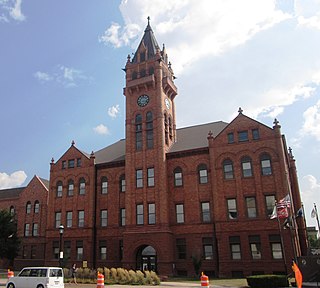
Champaign County is a county in the U.S. state of Illinois. As of the 2020 census, its population was 205,865, making it the 10th-most populous county in Illinois. Its county seat is Urbana.
Allerton is a village in Sidell Township, Vermilion County, Illinois, United States. A small portion of the village extends into Champaign County. The population was 262 at the 2020 census.
Homer is a village in Champaign County, Illinois, United States. Its population was 1,073 at the 2020 census.
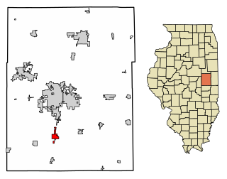
Tolono is a village in Tolono Township, Champaign County, Illinois, United States. The population was 3,604 at the 2020 census. Its name was fabricated by J.B. Calhoun, land commission of the Illinois Central Railroad, who wrote about it simply: "[I] placed the vowel o three times, thus o-o-o, and filling in with the consonants t-l-n."
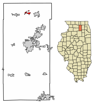
Kingston is a village in DeKalb County, Illinois, United States. The population was 1,108 at the 2020 census, down from 1,164 at the 2010 census.
Reddick is a village in Kankakee County, Illinois, United States. A small portion of the village extends into Livingston County. The population was 163 at the 2010 census, down from 219 at the 2000 census.
Forrest is a village in Livingston County, Illinois, United States. The population was 1,220 at the 2010 census.
Bellflower is a village in McLean County, Illinois, United States. The population was 346 at the 2020 census. It is part of the Bloomington–Normal Metropolitan Statistical Area.
Henning is a village in South Ross Township, Vermilion County, Illinois, United States. It is part of the Danville, Illinois Metropolitan Statistical Area. The population was 241 at the 2000 census.
Ambia is a town in Hickory Grove Township, Benton County, Indiana, United States. The population was 239 at the 2010 census. It is part of the Lafayette, Indiana Metropolitan Statistical Area.
State Line City is a town in Kent Township, Warren County, Indiana, United States, situated along the state's boundary with Illinois. As of the 2010 census, the town population was 143.
Clarion Township is one of twenty-five townships in Bureau County, Illinois, USA. As of the 2020 census, its population was 410 and it contained 177 housing units.
Ayers Township is one of thirty townships in Champaign County, Illinois, USA. As of the 2020 census, its population was 421 and it contained 198 housing units.
Champaign Township is a township in Champaign County, Illinois, USA. As of the 2020 census, its population was 11,264 and it contained 5,091 housing units.
East Bend Township is a township in Champaign County, Illinois, USA. As of the 2020 census, its population was 623 and it contained 261 housing units. East Bend Township was named for a meander of the Sangamon River.
Hensley Township is a township in Champaign County, Illinois, USA. As of the 2020 census, its population was 1,033 and it contained 464 housing units.
Philo Township is a township in Champaign County, Illinois, USA. As of the 2020 census, its population was 1,897 and it contained 762 housing units.
Somer Township is a township in Champaign County, Illinois, USA. As of the 2020 census, its population was 988 and it contained 469 housing units.
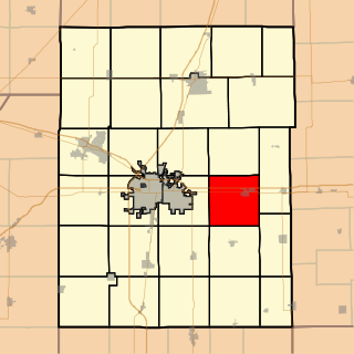
Saint Joseph Township is a township in Champaign County, Illinois, USA. As of the 2010 census, its population was 5,876 and it contained 2,252 housing units.
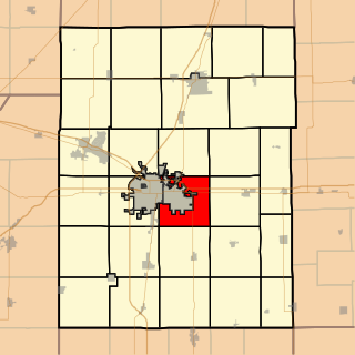
Urbana Township is a township in Champaign County, Illinois, USA. As of the 2010 census, its population was 7,451 and it contained 3,435 housing units.