Sommerviller | |
|---|---|
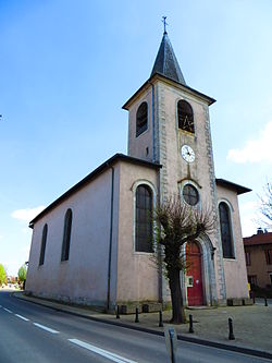 The church in Sommerviller | |
 Coat of arms | |
Location of Sommerviller  | |
 Sommerviller  Sommerviller | |
| Coordinates: 48°37′57″N6°22′38″E / 48.6325°N 6.3772°E | |
| Country | France |
| Region | Grand Est |
| Department | Meurthe-et-Moselle |
| Arrondissement | Nancy |
| Canton | Lunéville-1 |
| Intercommunality | CC des Pays du Sel et du Vermois |
| Government | |
| • Mayor (2020–2026) | Stéphane Lejeune [1] |
Area 1 | 3.81 km2 (1.47 sq mi) |
| Population (2022) [2] | 1,002 |
| • Density | 260/km2 (680/sq mi) |
| Time zone | UTC+01:00 (CET) |
| • Summer (DST) | UTC+02:00 (CEST) |
| INSEE/Postal code | 54509 /54110 |
| Elevation | 207–320 m (679–1,050 ft) (avg. 211 m or 692 ft) |
| 1 French Land Register data, which excludes lakes, ponds, glaciers > 1 km2 (0.386 sq mi or 247 acres) and river estuaries. | |
Sommerviller is a commune in the Meurthe-et-Moselle department in north-eastern France.