Sunnyside, Georgia | |
|---|---|
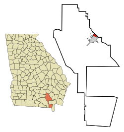 Location in Ware County and the state of Georgia | |
| Country | United States |
| State | Georgia |
| Counties | Ware |
| Area | |
• Total | 1.5 sq mi (3.8 km2) |
| • Land | 1.4 sq mi (3.7 km2) |
| • Water | 0.039 sq mi (0.1 km2) |
| Population (2020) | |
• Total | 1,472 |
| • Density | 1,003/sq mi (387.4/km2) |
Sunnyside is an unincorporated community and census-designated place (CDP) in Ware County, Georgia, United States. The population was 1,472 in 2020. It is part of the Waycross micropolitan statistical area.
