Limestone County is a county of the U.S. state of Alabama. As of the 2010 census, the county's population was 82,782. Its county seat is Athens. Its name comes from Limestone Creek, a local stream.

Wellsburg is a city in and the county seat of Brooke County, West Virginia, United States. It is part of the Weirton-Steubenville, WV-OH Metropolitan Statistical Area. The 2010 census recorded a population of 2,805. The diverse economy includes one paper mill, a glass gift outlet, several telemarketing facilities, and a factory that does metal fabrication plus plastics molding.
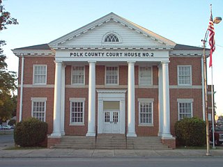
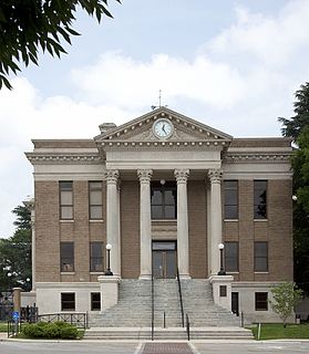
Polk County is a county located in the northwestern part of the U.S. state of Georgia. As of the 2010 census, the population was 41,475. The county seat is Cedartown. The county was created on December 20, 1851 by an act of the Georgia General Assembly and named after James K. Polk, the eleventh President of the United States.
Bagdad is a copper mining community and census-designated place (CDP) in Yavapai County, Arizona, United States, in the western part of the state. It is one of only two remaining company towns in Arizona. The population was 1,876 at the 2010 census.

Biscayne Park is a village in Miami-Dade County, Florida, United States. Biscayne Park was developed in the 1920s by Arthur Griffing. Biscayne Park was originally a neighborhood of the City of Miami when it was annexed into the City of Miami in 1925. With the arrival of the Great Depression, the City of Miami gave up its jurisdiction and Biscayne Park was incorporated as its own town in 1931. In 1933, the town decided to become a village, and changed its name to the Village of Biscayne Park.

West Miami is a city in Miami-Dade County, Florida, United States. The population was 5,965 at the 2010 census.

Lake Park is a town in Palm Beach County, Florida, United States. The population was 8,721 at the 2000 census. As of 2004, the population recorded by the U.S. Census Bureau was 9,080.

Woodstock is a city in Cherokee County, Georgia, United States. The population was 23,896 at the 2010 census. Originally a stop on the Louisville and Nashville Railroad, Woodstock is part of the Atlanta metropolitan area. In 2007 it was the tenth fastest-growing suburb in the United States.

Mableton is a census-designated place in Cobb County, Georgia, United States. As of the 2010 census, Mableton had a population of 37,115. When Brookhaven became a city in December 2012, Mableton became the largest unincorporated community in Metro Atlanta.
Zeeland Charter Township is a charter township of Ottawa County in the U.S. state of Michigan. The population was 9,971 at the 2010 census. As of the 2017 census estimates, the population was 11,077.

Port Angeles East is a census-designated place (CDP) in Clallam County, Washington, United States. The population was 3,036 at the 2010 census. This unincorporated urban growth area bordering the city of Port Angeles is known by locals as the Gales Addition.

The Abitibi River is a river in northeastern Ontario, Canada, which flows northwest from Lake Abitibi to join the Moose River which empties into James Bay. This river is 540 kilometres (340 mi) long, and descends 265 metres (869 ft).

The European route E 22 is one of the longest European routes. It has a length of about 5,320 km (3,310 mi). Many of the E-roads have been extended into Asia since the year 2000; the E 22 was extended on 24 June 2002.

Ahupuaʻa O Kahana State Park, formerly Kahana Valley State Park, is located on the windward side of Oʻahu between Kaʻaʻawa and Punaluʻu. The park is located mauka from Kahana Bay. It is Hawaii's only public ahupuaʻa, and it stretches from the sea to the tip of Puʻu Pauao at 2670 feet. It has a tropical climate, and it is one of the wettest areas in Oʻahu, averaging nearly 300 inches per year in parts of the valley. The main purpose of the park is to embrace and teach Hawaiian culture.
Fort Bidwell is a census-designated place in Modoc County, California. It is located 32 miles (51 km) northeast of Alturas, at an elevation of 4564 feet. The population was 173 at the 2010 census.
Lowgap is an unincorporated community in the Franklin Township of Surry County, North Carolina. Lowgap is named for the "low gap" the community is settled in among the Blue Ridge Mountains. The community is located at an elevation of 1,457 feet. Landmarks near the center of the community include the community post office, the community library housed in the former Lowgap School, fire department and area churches. North Carolina Highway 89, also known as West Pine Street, serves as the main thoroughfare in the community.

Birkdale Village is a new urban mixed-use community in Huntersville, North Carolina, United States, 12 miles (19 km) north of Charlotte, North Carolina. It was named after the English village of Birkdale, near Liverpool. It has numerous restaurants, stores, cafes, apartments, town homes, and houses. A gym, a movie theater, a supermarket, a golf course, a greenway, an express bus park and ride, and the 32,510-acre (131.6 km2) Lake Norman are all within walking distance for the residents of Birkdale Village.
The Nazko First Nation is a First Nations government of the Dakelh people in the north-central Interior of British Columbia. Its reserves are located around the community of Nazko, British Columbia, which is 120 km west of Quesnel and southwest of Prince George.
Windsor Farms is an unincorporated community in Susquehanna Township, Dauphin County, Pennsylvania in the Harrisburg-Carlisle Metropolitan Statistical Area. The latitude is 40.323, the longitude is -76.876, and its elevation is 453 feet (138 m).


