
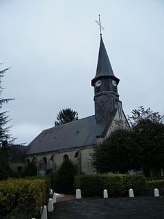
Beaucamps-le-Jeune is a commune in the Somme department in Hauts-de-France in northern France.

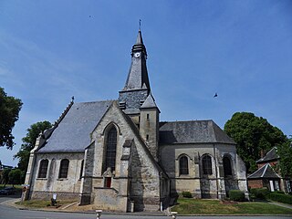
Beaucamps-le-Vieux is a commune in the Somme department in Hauts-de-France in northern France.

Belloy-sur-Somme is a commune in the Somme department in Hauts-de-France in northern France.
Béthencourt-sur-Somme is a commune in the Somme department in Hauts-de-France in northern France.

Blangy-Tronville is a commune in the Somme department in Hauts-de-France in northern France.

Boismont is a commune in the Somme department in Hauts-de-France in northern France.

Camon is a commune in the Somme department in Hauts-de-France in northern France.
Cléry-sur-Somme is a commune in the Somme department in Hauts-de-France in northern France.

Condé-Folie is a commune in the Somme department in Hauts-de-France in northern France.

Crouy-Saint-Pierre is a commune in the Somme department in Hauts-de-France in northern France.

Dreuil-lès-Amiens is a commune in the Somme department in Hauts-de-France in northern France.

Daours is a commune in the Somme department in Hauts-de-France in northern France.

Hangest-sur-Somme is a commune in the Somme department in Hauts-de-France in northern France.

Lamotte-Brebière is a commune in the Somme department in Hauts-de-France in northern France.

Sailly-Laurette is a commune in the Somme department in Hauts-de-France in northern France.

Saint-Christ-Briost is a commune in the Somme department in Hauts-de-France in northern France.
Mailly-Maillet is a commune in the Somme department in Hauts-de-France in northern France.

Pendé is a commune in the Somme department in Hauts-de-France in northern France.

Saint-Sauveur is a commune in the Somme department in Hauts-de-France in northern France.

La Neuville-lès-Bray is a commune in the Somme department in Hauts-de-France in northern France.


