 Ophelia approaching North Carolina on the evening of September 22 | |
| Meteorological history | |
|---|---|
| Formed | September 22,2023 |
| Extratropical | September 23,2023 |
| Dissipated | September 25,2023 |
| Tropical storm | |
| 1-minute sustained (SSHWS/NWS) | |
| Highest winds | 70 mph (110 km/h) |
| Lowest pressure | 981 mbar (hPa);28.97 inHg |
| Overall effects | |
| Fatalities | None |
| Damage | $450 million (2023 USD) |
| Areas affected | East Coast of the United States |
| [1] [2] | |
Part of the 2023 Atlantic hurricane season | |
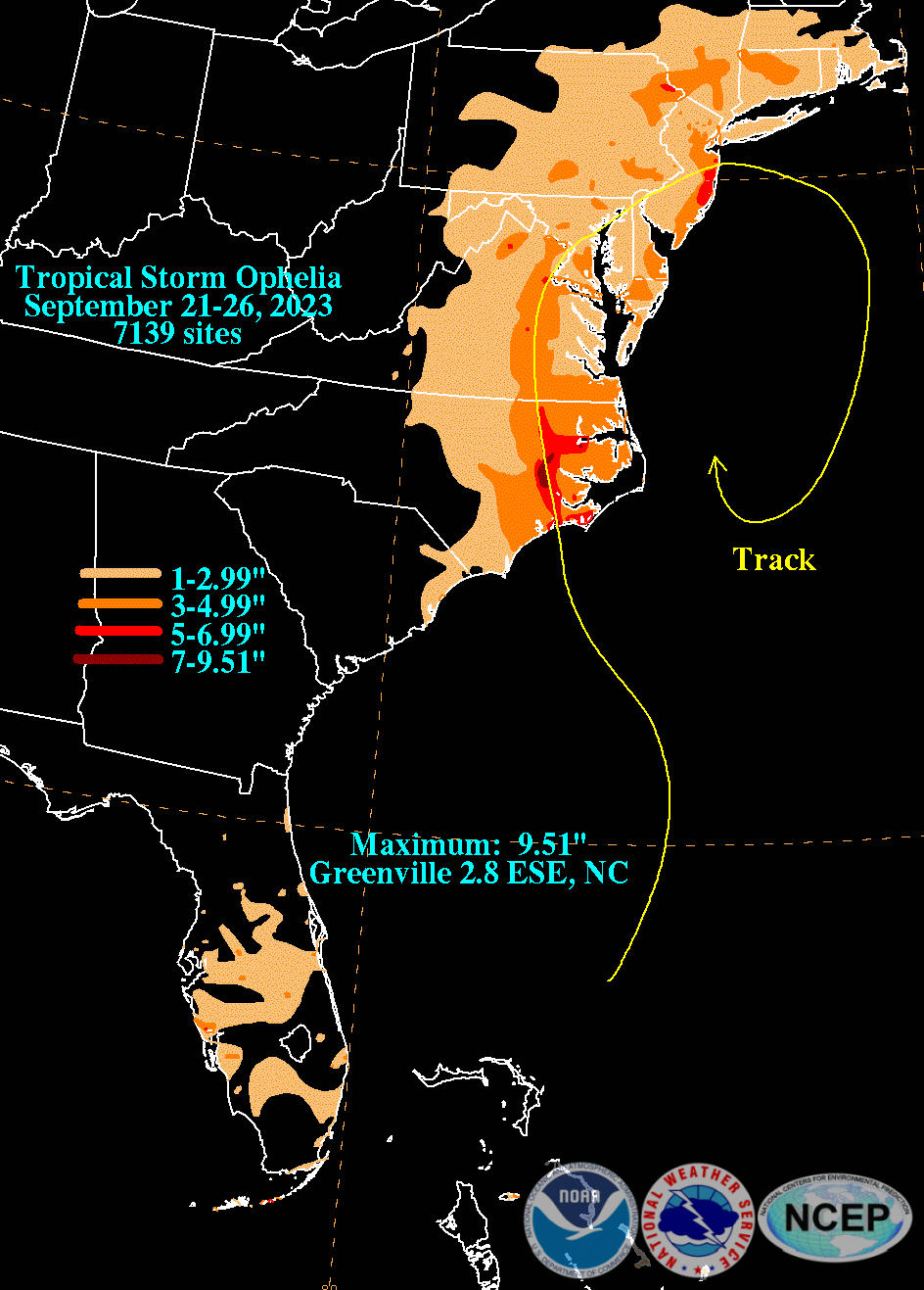
Tropical Storm Ophelia was a strong but short-lived tropical storm that impacted the East Coast of the United States in September 2023. The fifteenth named storm of the 2023 Atlantic hurricane season,Ophelia originated from a disturbance off the east coast of Florida before making landfall in North Carolina the next day as a strong tropical storm. Flood waters inundated coastal communities and roadways from North Carolina to New Jersey,and winds downed trees and power lines,and caused sporadic property damage.


