Maxcanú Municipality is a municipality in the Mexican state of Yucatán. Its seat is the town of Maxcanú. The municipality covers an area of approximately 1,321 km2 and is located roughly 52 km southwest of the city of Mérida.

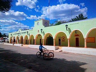
Tixkokob Municipality is a municipality in the Mexican state of Yucatán. Its municipal seat is located in the City of Tixkokob. The town of Tixkokob is famous within the area for high quality hammock weaving. The municipality made up largely of working class communities.

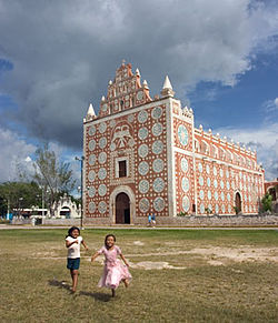
Chemax Municipality is a municipality in the Mexican state of Yucatán containing 1,098.6 km2 of land and located roughly 185 km east of the city of Mérida.
Yaxcabá Municipality is a municipality in the Mexican state of Yucatán containing (1079 km2) of land and located roughly 80 km northeast of the city of Mérida.

Homún Municipality is a municipality in the Mexican state of Yucatán containing (192.89 km2) of land and located roughly 50 km southeast of the city of Mérida.

Baca Municipality is a municipality in the Mexican state of Yucatán containing (118.78 km2) of land and located roughly 32 km east of the city of Mérida.

Seyé Municipality is a municipality in the Mexican state of Yucatán containing (186.50 km2) of land and located roughly 38 km southeast of the city of Mérida.

Hoctún Municipality is a municipality in the Mexican state of Yucatán containing (123.91 km2) of land and located roughly 45 km east of the city of Mérida.

Tahmek Municipality is a municipality in the Mexican state of Yucatán containing (139.24 km2) of land and located roughly 39 km southeast of the city of Mérida.

Muxupip Municipality is a municipality in the Mexican state of Yucatán containing 54.93 square kilometres (21.21 sq mi) of land and located roughly 30 kilometres (19 mi) northeast of the city of Mérida. It is bounded on the north by Motul town, on the south by Cacalchén Municipality and on the east and the west by Yaxkukul Municipality and Tixkokob Municipality.
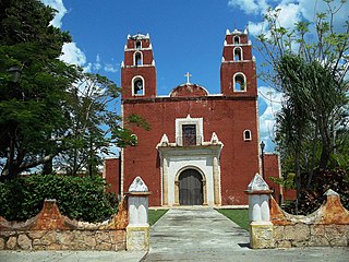
Temax Municipality is a municipality in the Mexican state of Yucatán containing 329.52 square kilometres (127.23 sq mi) of land and located roughly 80 kilometres (50 mi) northeast of the city of Mérida.

Yobaín Municipality is a municipality in the Mexican state of Yucatán containing (81.75 km2) of land and located roughly 70 km northeast of the city of Mérida.

Cuncunul Municipality is a municipality in the Mexican state of Yucatán containing (315.52 km2) of land and located roughly 145 km east of the city of Mérida.
Chichimilá Municipality is a municipality in the Mexican state of Yucatán containing (358.59 km2) of land and located roughly 170 km southeast of the city of Mérida.
Sacalum Municipality is a municipality in the Mexican state of Yucatán containing (205.66 km2) of land and is located roughly 75 km south of the city of Mérida.
Cenotillo Municipality is a municipality in the Mexican state of Yucatán containing (614.43 km2) of land and is located roughly 115 kilometres (71 mi) east of the city of Mérida.
Sucilá Municipality is a municipality in the Mexican state of Yucatán containing 256.76 km2 of land and is located roughly 150 kilometres (93 mi) northeast of the city of Mérida.
Tixcacalcupul Municipality is a municipality in the Mexican state of Yucatán containing (1,164.98 km2) of land and is located roughly 180 kilometres (110 mi) southeast of the city of Mérida.
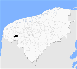
Kopomá Municipality is a municipality in the Mexican state of Yucatán containing (260.59 km2) of land and is located roughly 50 kilometres (31 mi) southwest of the city of Mérida.
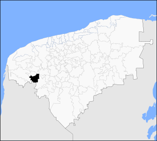
Opichén Municipality is a municipality in the Mexican state of Yucatán containing (268.25 km2) of land and is located roughly 75 kilometres (47 mi) south of the city of Mérida.