The Town of Lincoln is located in Adams County in the U.S. state of Wisconsin. The population was 296 at the 2010 census. The ghost town of Springbluff was located in the town.

Russell is a town in Bayfield County, Wisconsin, United States. The population was 1,279 at the 2010 census. The unincorporated communities of Red Cliff and Sand Bay are located in Russell. Red Cliff is the administrative center of the Red Cliff Band of Lake Superior Chippewa. York Island and Raspberry Island are part of the town.
Rockland is a town in Brown County in the U.S. state of Wisconsin. The population was 1,734 at the 2010 census.

La Follette is a town in Burnett County in the U.S. state of Wisconsin. The population was 536 at the 2010 census. The unincorporated communities of Coomer and Hertel are located in the town.
Webb Lake is a town in Burnett County in the U.S. state of Wisconsin. The population was 311 at the 2010 census. It is along Wisconsin Highway 77 near County Road H.

Haney is a town in Crawford County, Wisconsin, United States. The population was 309 at the 2010 census. The unincorporated communities of Barnum and Petersburg are located within the town.

Medina is a town in Dane County, Wisconsin, United States. The population was 1,235 at the 2000 census. The unincorporated community of Deansville is located in the town.

Wascott is a town in Douglas County, Wisconsin, United States. The population was 714 at the 2000 census. The unincorporated community of Wascott is located in the town.

Franklin is a town in Jackson County, Wisconsin, United States. The population was 325 at the 2000 census. The unincorporated community of Franklin is located in the town. The ghost town of Rogneys was also located in the town.

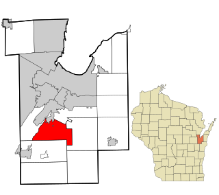
Hamilton is a town in La Crosse County, Wisconsin, United States. The population was 2,561 as of the 2010 Census. It is part of the La Crosse, Wisconsin Metropolitan Statistical Area.

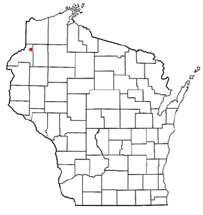
Harding is a town in Lincoln County, Wisconsin, United States. The population was 372 at the 2010 census, up from 334 at the 2000 census.
Ingram is a village in Rusk County, Wisconsin, United States. The population was 78 at the 2010 census.

Richland is a town in Rusk County, Wisconsin, United States. The population was 206 at the 2000 census. The village of Ingram is located in the town.
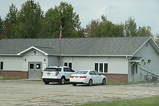
St. Joseph is a town in St. Croix County, Wisconsin, United States. The population was 3,842 at the 2010 census. The unincorporated communities of Burkhardt, and Houlton are located in the town.

Lodi is a town in Columbia County, Wisconsin, United States. The population was 3,282 at the 2020 census. The unincorporated communities of Harmony Grove and Okee are in the town and the census-designated place of Lake Wisconsin is partially in the town.

Menomonie is a town in Dunn County, Wisconsin, United States. The population was 3,174 at the 2000 census. The unincorporated community of Irvington lies within the town, as does most of the City of Menomonie.
Pound is a town in Marinette County, Wisconsin, United States. The population was 1,367 at the 2000 census. The village of Pound is located within but politically independent of the town.

Oakdale is a village in Monroe County, Wisconsin, United States. The population was 302 at the 2020 census. The village is located within the Town of Oakdale.
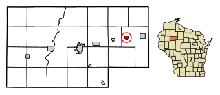
Kennan is a town in Price County, Wisconsin, United States. The population was 378 at the 2000 census. The Village of Kennan is located within the town.
Somerset is a town in St. Croix County, Wisconsin, United States. The population was 4,036 at the 2010 census. The Village of Somerset is adjacent to the town.

