The Manado is a river of North Sulawesi on Sulawesi island, Indonesia, about 2200 km northeast of the capital Jakarta. Tributaries include the Sawangan River, Timbukar River and the Ranoyapo River.

Belayan River is a river of Borneo, Indonesia, 1300 km northeast of the capital Jakarta. It is a tributary of the Mahakam River.

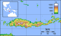
Sissa River is a river of Flores, East Nusa Tenggara, Indonesia. The 87-km river flows from southwest to northeast direction, with the upstream at Mount Inielika north of Bajawa, Ngada Regency and discharge into Flores Sea near Mbay, Nagekeo Regency.
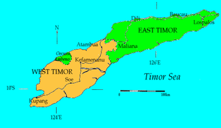
Mina River is a river of Timor, in the province of East Nusa Tenggara, Indonesia, about 2000 km east of the capital Jakarta.
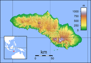
Kadumbul River is a river of Sumba, East Nusa Tenggara, Indonesia.

Liman River is a river in northern Java, Indonesia.
Setail River is a river in southeastern Java, Indonesia.

Warenai River is a river in northern New Guinea, Indonesia. Tributaries include the Wapoga River.

Kalaena River is a river in South Sulawesi, Sulawesi island, Indonesia, about 1600 km northeast of the capital Jakarta.

Renun River is a river in northern Sumatra, Indonesia, about 1400 km northwest of the capital Jakarta.

Kualu River is a river in northern Sumatra, Indonesia, about 1600 km northwest of the capital Jakarta.
Mandau River is a river in Riau province of central Sumatra island, Indonesia, about 1000 km northwest of the capital Jakarta. It is a tributary of the Siak River.
Kampar Kiri River is a river in central Sumatra, Indonesia, about 900 km northwest of the capital Jakarta. It is a tributary of the Kampar River.

The Kawa River is a river of Seram Island, Maluku province, Indonesia, about 2500 km northeast of the capital Jakarta.
Kambaniru River is a river in the island of Sumba, Indonesia, about 1,500 km east of the capital Jakarta. With a length of approximately 118 km, it flows periodically through 9 districts in the East Sumba Regency, exiting to the Bay of Kambaniru near the city of Waingapu to the Sawu Sea, with high debit in the wet season, but very low in the dry season.

Brang Biji River is a river in the island of Sumbawa, Indonesia, about 1,200 km east of the capital Jakarta. It is also known as Brang Sumbawa.

Jatikramat River is a river in the Bekasi, West Java and eastern part of the Special Capital Region of Jakarta, Indonesia. The lower portions of the original river have been channelized and directed into the eastern flood canal, "Banjir Kanal Timur", which continues to flow to the Java Sea in the district of Marunda, Cilincing, North Jakarta. The river regularly causes flooding in the city of Bekasi and Jakarta.
Cakung River is a river in the Bekasi, West Java and eastern part of the Special Capital Region of Jakarta, Indonesia. The lower portions of the original river have been channelized and directed into the eastern flood canal, "Banjir Kanal Timur", which continues to flow to the Java Sea in the district of Marunda, Cilincing, North Jakarta. The river regularly causes flooding in the city of Bekasi and Jakarta.

Tabalong River is a river traversing the Tabalong Regency, in the province of South Kalimantan, Indonesia. The river flows into Negara River. It is a confluence of two tributaries: Left Tabalong dan Right Tabalong rivers.
Wanokaka River is a river in Sumba island, Province of East Nusa Tenggara, Indonesia. It is located a few kilometers south of Waikabubak, with the District of Wanokaka (Wanukaka), east of the District of Lamboya.