Spurr Township is a civil township of Baraga County in the U.S. state of Michigan. The population was 276 at the 2010 census.

Virginia is a city in Saint Louis County, Minnesota, United States, on the Mesabi Iron Range. The population was 8,712 at the 2010 census. According to a water tower in the middle of town, the city's nickname is the "Queen City", or "Queen City of the North". Despite its relatively small size, Virginia ranks among the most dangerous cities in Minnesota when measured by violent and property crimes per capita.

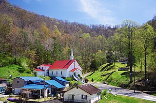
Kermit is a town in Mingo County, West Virginia, United States. The population was 406 at the 2010 census. Kermit is located along the Tug Fork, opposite Warfield, Kentucky. The Norfolk Southern Railway's Kenova District runs through town.

The Mesabi Iron Range is an elongate trend containing large deposits of iron ore, and the largest of four major iron ranges in the region collectively known as the Iron Range of Minnesota. Discovered in 1866, it is the chief iron ore mining district in the United States. The district is located in northeast Minnesota, largely in Itasca and Saint Louis counties. It was extensively worked in the earlier part of the 20th century. Extraction operations declined throughout the mid-1970s but rebounded in 2005. China's growing demand for iron, along with the falling value of the U.S. dollar versus other world currencies, have made taconite production profitable again, and some mines that had closed have been reopened, while current mines have been expanded.

Heaters is a small unincorporated community in Braxton County, West Virginia, United States. Heaters is situated about three miles north of Flatwoods on U.S. Route 19, which is a paved two-lane road. Access to I-79 is at exit 67 in Flatwoods. Heater's has a United States Postal Service post office and the ZIP Code is 26627.

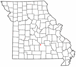
Roby is an unincorporated community in northwestern Texas County, Missouri, United States. It is located approximately sixteen miles northwest of Houston and ten miles south of Fort Leonard Wood at the northern junction of Routes 17 and 32. Roby is home to the "Mark Twain National Forest" campgrounds.

Willis Wharf, also known as "Clam Town USA", is an unincorporated community in Northampton County, Virginia, United States.

Beards Fork is a census-designated place (CDP) and coal town in Fayette County, West Virginia, United States that was founded as a coal town. As of the 2010 census, its population was 199.

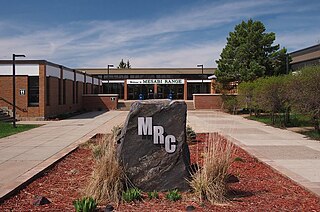
The Mesabi Range College (MRC) formerly Mesabi Range Community and Technical College is a public community college with campuses in Eveleth and Virginia, Minnesota. Students in the Virginia High School and other neighboring school districts can receive college credits also by taking classes there.

Clayton is an unincorporated community in Summers County, West Virginia, United States. The community was first settled in 1813. Clayton once had a post office, which opened in 1879 and closed in 1959.
Wells Creek is a 27.6-mile-long (44.4 km) tributary of the Mississippi River in Wabasha and Goodhue counties in Minnesota, United States. It enters the Mississippi at Old Frontenac.
The West Two River is a 26.5-mile-long (42.6 km) tributary of the Saint Louis River in northern Minnesota, United States. It rises west of the city of Mountain Iron and flows south, reaching the Saint Louis River in McDavitt Township.
Ruby is an unincorporated community in Stafford County, in the U.S. state of Virginia.
Pittsville is an unincorporated community in Pittsylvania County, in the U.S. state of Virginia.
Bradyville is an unincorporated community in Lincoln County, in the U.S. state of West Virginia.
Viney Mountain is a summit in West Virginia, in the United States. With an elevation of 3,809 feet (1,161 m), Viney Mountain is the 138th highest summit in the state of West Virginia.

Rockdale is an extinct town in the northwest United States, in King County, Washington. The GNIS classifies it as a populated place.
Galesburg is an unincorporated community in northwest Jasper County in southwest Missouri, United States. The community is located on the south bank of the Spring River, approximately twelve miles north of Joplin.
Glensted is an unincorporated community in Morgan County, in the U.S. state of Missouri.


