Alum Creek | |
|---|---|
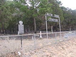 Alum Creek Cemetery | |
 Alum Creek  Alum Creek | |
| Coordinates: 30°04′04″N97°13′03″W / 30.06778°N 97.21750°W | |
| Country | United States |
| State | Texas |
| County | Bastrop |
| Founded | 1829 |
| Elevation | 348 ft (106 m) |
| Population (2000) | |
• Total | 70 |
| Time zone | UTC-6 (Central (CST)) |
| • Summer (DST) | UTC-5 (CDT) |
| Area code(s) | 512 & 737 |
| GNIS feature ID | 1377933 [1] |
Alum Creek is an unincorporated community in Bastrop County, Texas, United States. [1] The community had a population of 70 in 2000. It is located within the Greater Austin metropolitan area.
