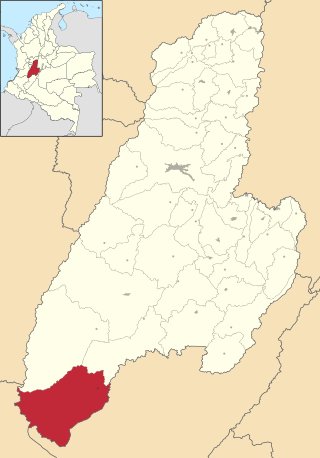
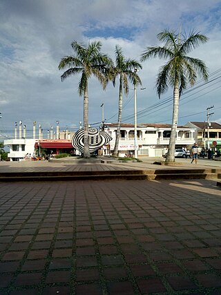
Natagaima is a town and municipality in the Tolima department of Colombia, on the shore of the Magdalena River, at 326 meters (1,070 ft) above sea level. The population of the municipality was 21,324 as of the 1993 census, and its average temperature is 26 °C (79 °F). Natagaima was founded in 1606 by Spanish conqueror Juan de Borja y Armendia.
Planadas Is a Colombian municipality located in the department of Tolima. It was founded in 1966 during the presidency of Carlos Lleras Restrepo and lies 252 km of Ibagué the capital of the department.

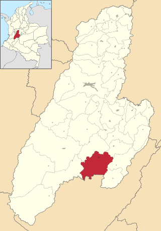
Rioblanco is a town and municipality in the Tolima department of Colombia. The population of the municipality was 19,090 as of the 2018 census.

Angostura is a town and municipality in Antioquia Department, Colombia. It is part of the subregion of Northern Antioquia. The population was 10,500 at the 2018 census.
Concordia is a town and municipality in the Colombian department of Antioquia. It is part of the sub-region of Southwestern Antioquia.
Fredonia is a town and municipality in the Colombian department of Antioquia. It is part of the sub-region of Southwestern Antioquia. According to the 2018 census, the population comprises 18,790 people.
Ituango is a town and municipality in the Colombian department of Antioquia. P\It is part of the subregion of Northern Antioquia. The population was 23,784 at the 2018 census.
Liborina is a town and municipality in the Colombian department of Antioquia. The population was 7,928 at the 2018 census.

Valdivia is a town and municipality in Antioquia Department, Colombia. Part of the subregion of Northern Antioquia, its population was 11,511 at the 2018 census.

Venecia is a town and municipality in Antioquia Department, Colombia. According to the 2018 census, the population comprised 10,280 people.

Peque is a municipality in the Colombian department of Antioquia. The population was 7,155 at the 2018 census.

San Rafael is a town and municipality in Antioquia Department, Colombia. Part of the subregion of Eastern Antioquia.

San Pedro de Urabá is a municipality in Antioquia Department, Colombia. It is part of the Urabá Antioquia sub-region.
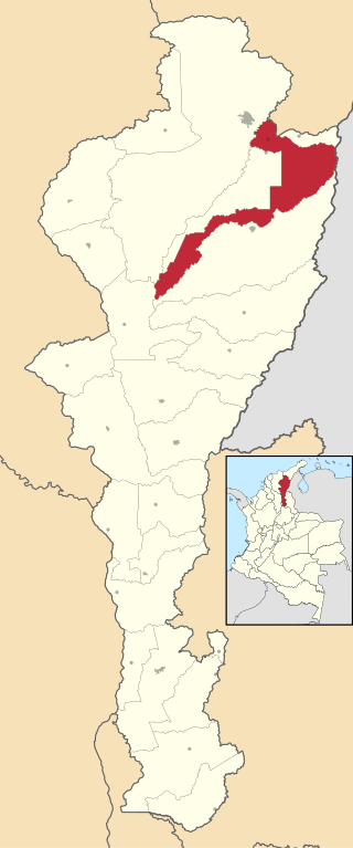
Los Robles La Paz or simply La Paz is a municipality and a town in the Department of Cesar, Colombia. The town is close to the Capital city of the Department of Cesar; Valledupar. The municipality of La Paz borders to the north with La Guajira Department, to the northeast with the municipality of Manaure. To the east with the Bolivarian Republic of Venezuela sharing the Serranía del Perijá mountain range. To the south with the municipality of Codazzi, southwest with the municipality of El Paso, Cesar. To the west with the municipality of San Diego and to the northwest with the municipality of Valledupar.
El Zulia is a municipality of the Norte de Santander Department in Colombia. A portion of this municipality is part of the Metropolitan Area of Cúcuta.

Juan de Acosta is a municipality and town in the Colombian department of Atlántico.
Sampués is a town and municipality located in the Sucre Department, northern Colombia.
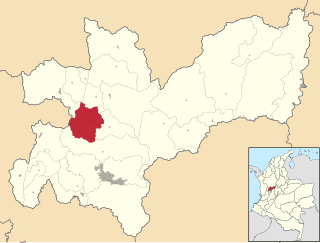
Filadelfia is a town and municipality in the Colombian Department of Caldas.

Buesaco is a town and municipality in the Nariño Department, Colombia.

Baraya is a town and municipality in the Huila Department of Colombia.


