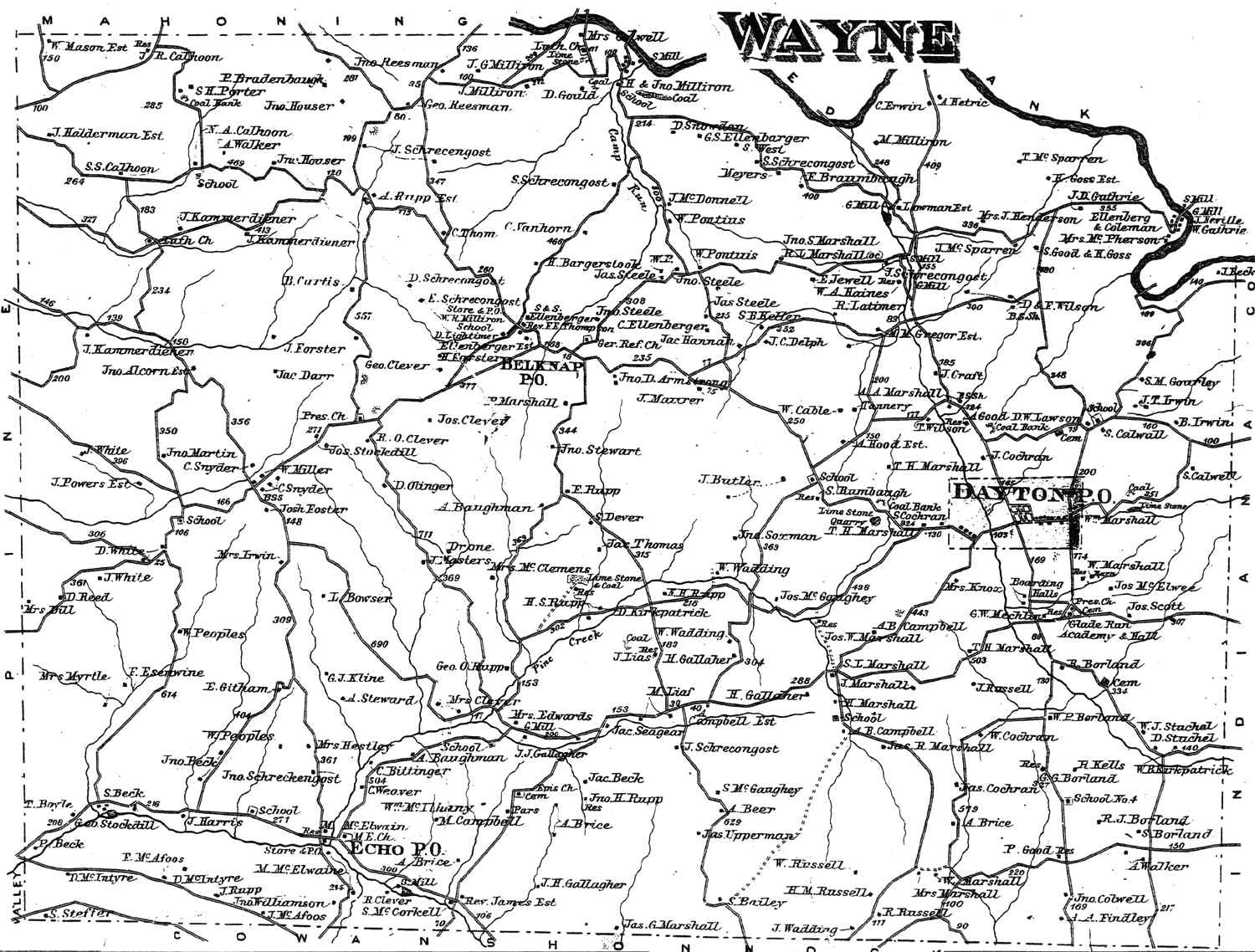
Belknap, Pennsylvania | |
|---|---|
Unincorporated community | |
 Belknap | |
| Coordinates: 40°53′57″N79°18′10″W / 40.89917°N 79.30278°W | |
| Country | United States |
| State | Pennsylvania |
| County | Armstrong |
| Township | Wayne |
| Elevation | 1,506 ft (459 m) |
| Time zone | UTC-5 (Eastern (EST)) |
| • Summer (DST) | UTC-4 (EDT) |
| GNIS feature ID | 1169142 [1] |
Belknap is an unincorporated community in Wayne Township, Armstrong County, Pennsylvania, United States. [1]
