Milton, Pennsylvania | |
|---|---|
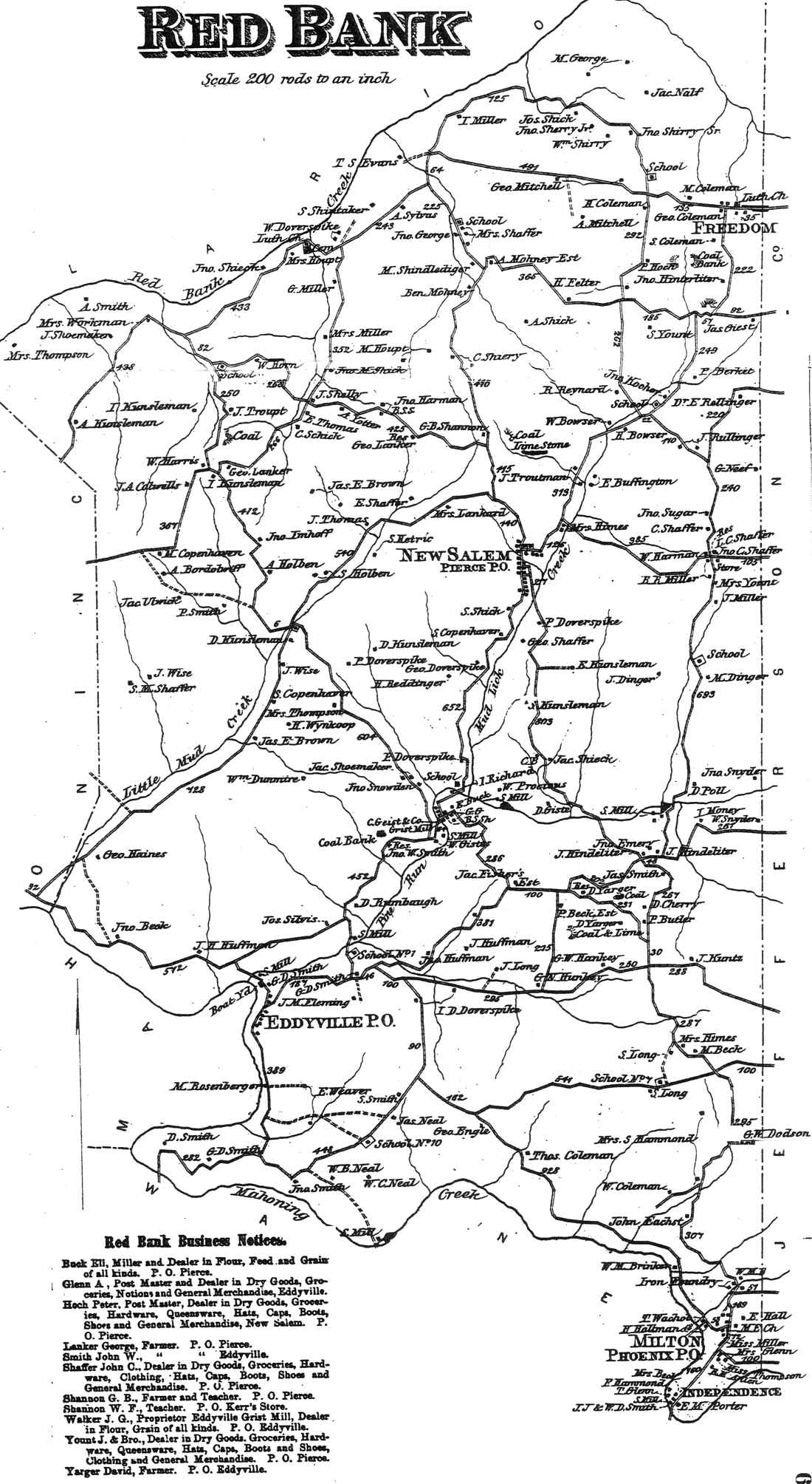
Unincorporated community | |
 Milton | |
| Coordinates: 40°54′35″N79°13′00″W / 40.90972°N 79.21667°W | |
| Country | United States |
| State | Pennsylvania |
| County | Armstrong |
| Township | Redbank |
| Elevation | 1,204 ft (367 m) |
| Time zone | UTC-5 (Eastern (EST)) |
| • Summer (DST) | UTC-4 (EDT) |
| ZIP code | 15686 |
| Area codes | 724, 878 |
| GNIS feature ID | 1181297 [1] |
Milton is an unincorporated community in Redbank Township, Armstrong County, Pennsylvania, United States. [1]
