Blaine, Wisconsin | |
|---|---|
 Blaine, Wisconsin  Blaine, Wisconsin | |
| Coordinates: 44°18′31.8″N89°18′54.7″W / 44.308833°N 89.315194°W | |
| Country | |
| State | |
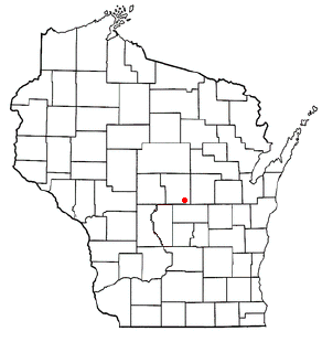
| County | Portage |
| Elevation | 1,122 ft (342 m) |
| Time zone | UTC-6 (Central (CST)) |
| • Summer (DST) | UTC-5 (CDT) |
| Area codes | 715 and 534 |
| GNIS feature ID | 1561908 [1] |
Blaine is an unincorporated community in Portage County, Wisconsin, United States. [1] [2]