| Sand brazos-mint | |
|---|---|
| Scientific classification | |
| Kingdom: | Plantae |
| Clade: | Tracheophytes |
| Clade: | Angiosperms |
| Clade: | Eudicots |
| Clade: | Asterids |
| Order: | Lamiales |
| Family: | Lamiaceae |
| Genus: | Brazoria |
| Species: | B. arenaria |
| Binomial name | |
| Brazoria arenaria | |
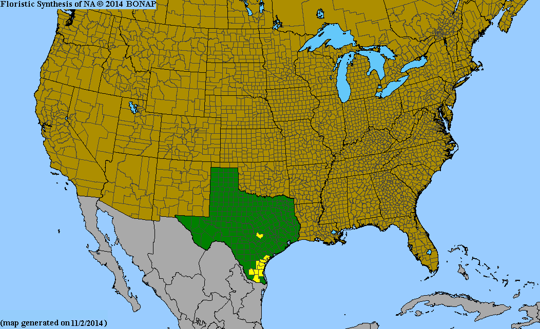
Brazoria arenaria is a species of flowering plant in the mint family, Lamiaceae . [1] [2] It is sometimes referred to by the common name sand Brazos-mint. [3] [4] It was first described in 1945 and is endemic to southern Texas. [5] [6]