This article needs additional citations for verification .(October 2021) |
This is a list of recognised pioneering expeditions to Greenland that contributed to the cartography of the territory.
This article needs additional citations for verification .(October 2021) |
This is a list of recognised pioneering expeditions to Greenland that contributed to the cartography of the territory.

Knud Johan Victor Rasmussen was a Greenlandic-Danish polar explorer and anthropologist. He has been called the "father of Eskimology" and was the first European to cross the Northwest Passage via dog sled. He remains well known in Greenland, Denmark and among Canadian Inuit.

Ellesmere Island is Canada's northernmost and third largest island, and the tenth largest in the world. It comprises an area of 196,236 km2 (75,767 sq mi), slightly smaller than Great Britain, and the total length of the island is 830 km (520 mi).

Peary Land is a peninsula in northern Greenland, extending into the Arctic Ocean. It reaches from Victoria Fjord in the west to Independence Fjord in the south and southeast, and to the Arctic Ocean in the north, with Cape Morris Jesup, the northernmost point of Greenland's mainland, and Cape Bridgman in the northeast.

Ejnar Mikkelsen was a Danish polar explorer and writer. He is most known for his expeditions to Greenland.
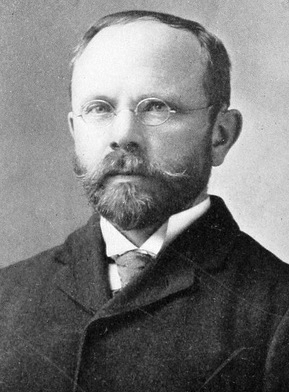
Johan Peter Koch was a Danish captain and explorer of the Arctic dependencies of Denmark, born at Vestenskov. He was the uncle of the geologist Lauge Koch

John Riddoch Rymill was an Australian polar explorer, who had the rare second clasp added to his Polar Medal.
The Molloy Deep is a bathymetric feature in the Fram Strait, within the Greenland Sea east of Greenland and about 160 km (100 mi) west of Svalbard. It is the location of the deepest point in the Arctic Ocean. The Molloy Deep, Molloy Hole, Molloy Fracture Zone, and Molloy Ridge were named after Arthur E. Molloy, a U.S. Navy research scientist who worked in the North Atlantic, North Pacific, and Arctic Oceans in the 1950s–1970s.

The Arctic Ocean is the smallest and shallowest of the world's five oceanic divisions. It spans an area of approximately 14,060,000 km2 (5,430,000 sq mi) and is the coldest of the world's oceans. The International Hydrographic Organization (IHO) recognizes it as an ocean, although some oceanographers call it the Arctic Mediterranean Sea. It has also been described as an estuary of the Atlantic Ocean. It is also seen as the northernmost part of the all-encompassing world ocean.
Robert Stein was a German-American translator, interpreter of Eskimo–Aleut languages, and amateur Arctic explorer whose contributions in the field of Arctic research were largely ineffectual.

Île-de-France is an uninhabited island of the Greenland Sea, Greenland. The island has an area of 246.1 km ² and a shoreline of 71.9 kilometres. It lies off the southern part of Jokel Bay and southeast of the Danske Islands.

Ammassalik wooden maps are carved, tactile maps of the Greenlandic coastlines. In the 1880s, Gustav Holm led an expedition to the Ammassalik coast of eastern Greenland, where he met several Tunumiit, or Eastern Greenland Inuit communities, who had had no prior direct contact with Europeans. He returned to Denmark with a set of three-dimensional wooden maps of the coast around 66°N 36°W, carved by a native of Umivik named Kunit.

Antarctic was a Swedish steamship built in Drammen, Norway, in 1871. She was used on several research expeditions to the Arctic region and to Antarctica from 1893 to 1903. In 1895 the first confirmed landing on the mainland of Antarctica was made from this ship.

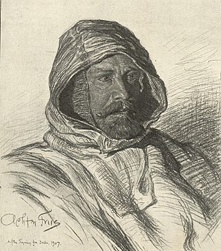
Vice Admiral Sir Georg Carl Amdrup, RN was a Danish naval officer, Vice Admiral and Greenland researcher.

Kangerlussuaq Fjord is a fjord in eastern Greenland. It is part of the Sermersooq municipality.

The 1932–33 East Greenland Expedition, sub-titled the Pan Am expedition by some sources, was a small expedition to Greenland led by Henry "Gino" Watkins until his death and then by John Rymill. The expedition was intended to continue the work of the previous British Arctic Air Route Expedition (BAARE) that had mapped unexplored sections of Greenland in 1930–1931.

The Daly Range or Daly Mountains is a mountain range in Peary Land, Northern Greenland. Administratively this range is part of the Northeast Greenland National Park.

The Peary Channel was a hypothetical sound or marine channel running from east to west separating Peary Land in northernmost Greenland from the mainland further south.
Fleming Fjord is a fjord in King Christian X Land, eastern Greenland.
Pic de Gerlache is a mountain in King Frederick VIII Land, NE Greenland. Administratively it is part of the Northeast Greenland National Park.
| |||||||
| History |  | ||||||
| Geography | |||||||
| Politics | |||||||
| Economy | |||||||
| Society |
| ||||||