7 October 1967 by Ignacio Morlans and Pedro Rosende[2]
Cerro Capurata, also known as Elena Capurata or Quimsachatas[3] is a stratovolcano in the Andes of Bolivia and Chile.[4] To the south of Capurata lies Cerro Casparata and straight west Guallatiri, which shares a near-identical elevation with Capurata.[5]
It is on the border of the Parinacota Province of Chile (Putrecommune) and of the Bolivian province of Sajama (commune Turco).[1] Compared to Acotango and Humurata, Capurata's rocks are relatively well preserved. Some hydrothermal alteration, partly associated with fumarolic activity, is present however.[6] The total volume of the edifice is 19 cubic kilometres (4.6cumi)[7] and has been eroded by glaciers. The volcano is formed by lava domes, lava flows and pyroclastic flows.[8]Sulfur deposits formed by solfataras are also found on Capurata.[9] The west side of the mountain is covered with snow and ice.[10] Two crater depressions on the summit have an appearance that suggests a Holocene age.[8]
Incan Ruins and First Ascent
Incan Ruins at the top of Capurata
A 10 by 5 metres (33ft ×16ft) ruin towards the northern site of the summit. The structure was probably built by the Inkas and it was photographed by Pedro Hauck during his last ascent in 2014.[11] The first recorded climb is by Pedro Rosende and Ignacio Morlans (Chile) in 10/07/1967.[12][13]
Elevation
It has an official height of 5990 metres,[14][a][b] but handheld GPS devices have indicated that it is actually 6,013 metres (19,728ft)[19] or 6,014 metres (19,731ft) high.[11]
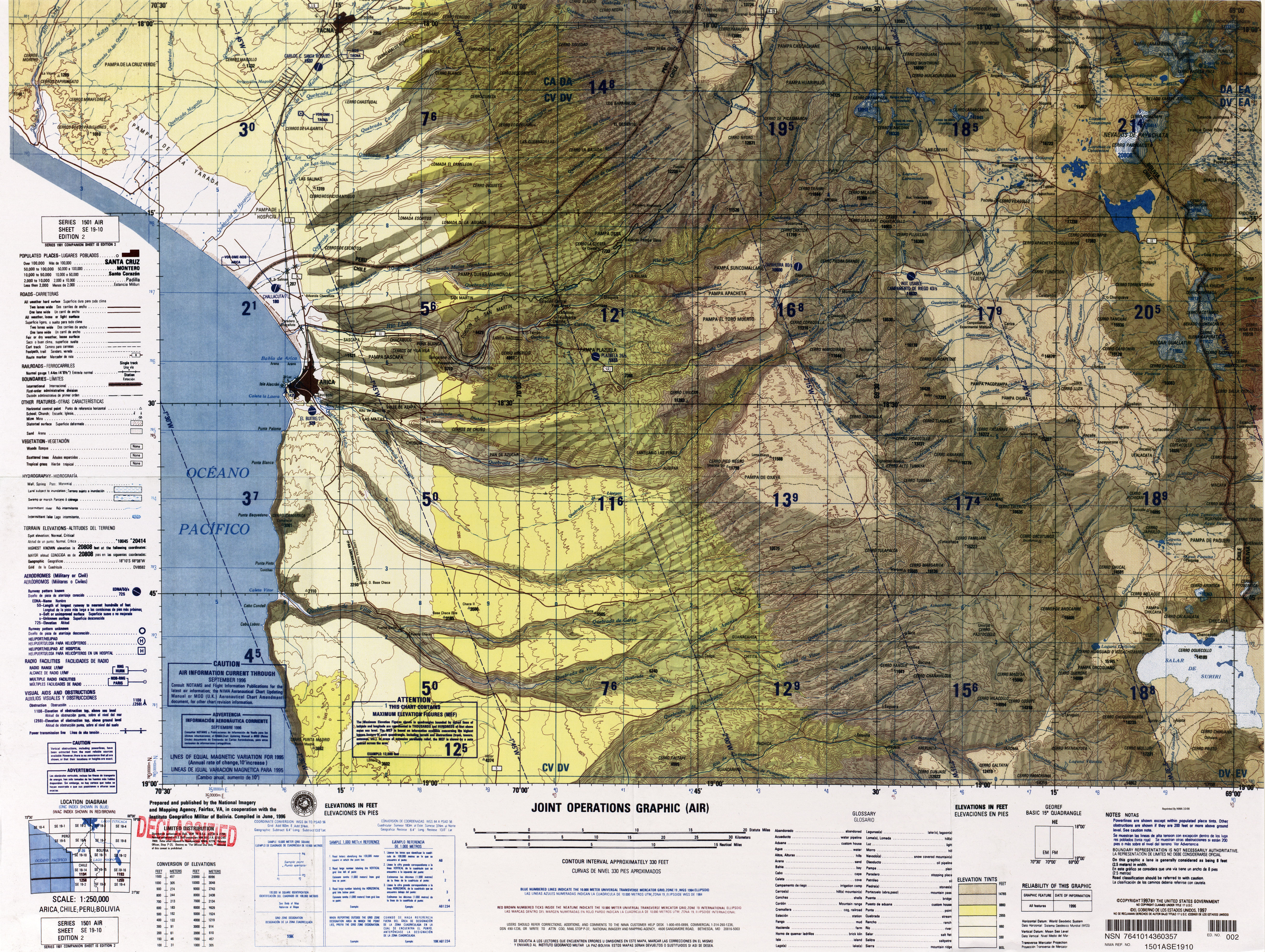
↑"SE 19-10 Arica, Chile; Peru; Bolivia". Latin America, Joint Operations Graphic 1:250,000 [Not for navigational use]. University of Texas. Archived from the original on 4 March 2016. Retrieved 10 April 2016.
12Gonzalez Ferran, O (1995). Volcanes de Chile (in Spanish). Instituto Geografico Militar. p.122. OCLC948099508.
↑Avila-Salinas, Waldo (1991). "Petrologic and tectonic evolution of the Cenozoic volcanism in the Bolivian western Andes". Andean Magmatism and Its Tectonic Setting. Geological Society of America Special Papers. Vol.265. p.248. doi:10.1130/SPE265-p245. ISBN0-8137-2265-9. ISSN0072-1077.
This page is based on this Wikipedia article Text is available under the CC BY-SA 4.0 license; additional terms may apply. Images, videos and audio are available under their respective licenses.


