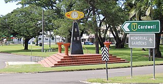
Ingham is a rural town and locality in the Shire of Hinchinbrook, Queensland, Australia. It is named after William Bairstow Ingham and is the administrative centre for the Shire of Hinchinbrook.

Lucinda is a coastal town and locality in the Shire of Hinchinbrook, Queensland, Australia. In the 2021 census, the locality of Lucinda had a population of 435 people.

The Shire of Hinchinbrook is a local government area in North Queensland, Queensland, Australia. The shire, administered from the town of Ingham, covers an area of 2,807 square kilometres (1,083.8 sq mi), and has existed since its creation on 11 November 1879 as one of 74 divisions around Queensland under the Divisional Boards Act 1879.
Forrest Beach is a coastal locality in the Shire of Hinchinbrook, Queensland, Australia. In the 2021 census, Forrest Beach had a population of 1,364 people.

Halifax is a town and a coastal locality in the Shire of Hinchinbrook, Queensland, Australia. In the 2021 census, the locality of Halifax had a population of 477 people.

Abergowrie is a rural town and locality in the Shire of Hinchinbrook, Queensland, Australia. In the 2021 census, the locality of Abergowrie had a population of 305 people.
Taylors Beach is a coastal town and locality in the Shire of Hinchinbrook, Queensland, Australia. It takes its name from its beach. In the 2021 census, the locality of Taylors Beach had a population of 297 people.

Macknade is a rural town and coastal locality in the Shire of Hinchinbrook, Queensland, Australia. In the 2021 census, the locality of Macknade had a population of 203 people.
Victoria Plantation is a rural locality in the Shire of Hinchinbrook, Queensland, Australia. In the 2021 census, Victoria Plantation had a population of 169 people.
Bambaroo is a rural locality in the Shire of Hinchinbrook, Queensland, Australia. In the 2021 census, Bambaroo had a population of 146 people.
Helens Hill is a rural locality in the Shire of Hinchinbrook, Queensland, Australia. In the 2021 census, Helens Hill had a population of 118 people.
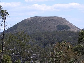
Mount Fox is a rural locality in the Shire of Hinchinbrook, Queensland, Australia. In the 2021 census, Mount Fox had a population of 84 people.
Braemeadows is a rural locality in the Shire of Hinchinbrook, Queensland, Australia. In the 2021 census, Braemeadows had a population of 269 people.
Lannercost is a rural locality in the Shire of Hinchinbrook, Queensland, Australia. In the 2021 census, Lannercost had a population of 168 people.
Long Pocket is a rural locality in the Shire of Hinchinbrook, Queensland, Australia. In the 2021 census, Long Pocket had a population of 150 people.

Bemerside is a rural locality in the Shire of Hinchinbrook, Queensland, Australia. In the 2021 census, Bemerside had a population of 259 people.
Upper Stone is a rural locality in the Shire of Hinchinbrook, Queensland, Australia. In the 2021 census, Upper Stone had a population of 111 people.
Dalrymple Creek is a locality in the Shire of Hinchinbrook, Queensland, Australia. In the 2021 census, Dalrymple Creek had a population of 51 people.

Hawkins Creek is a rural locality in the Shire of Hinchinbrook, Queensland, Australia. In the 2021 census, Hawkins Creek had a population of 236 people.
Garrawalt is a rural locality in the Shire of Hinchinbrook, Queensland, Australia.
